Monthly Archives: August 2013

Trail Names: A Belated Story

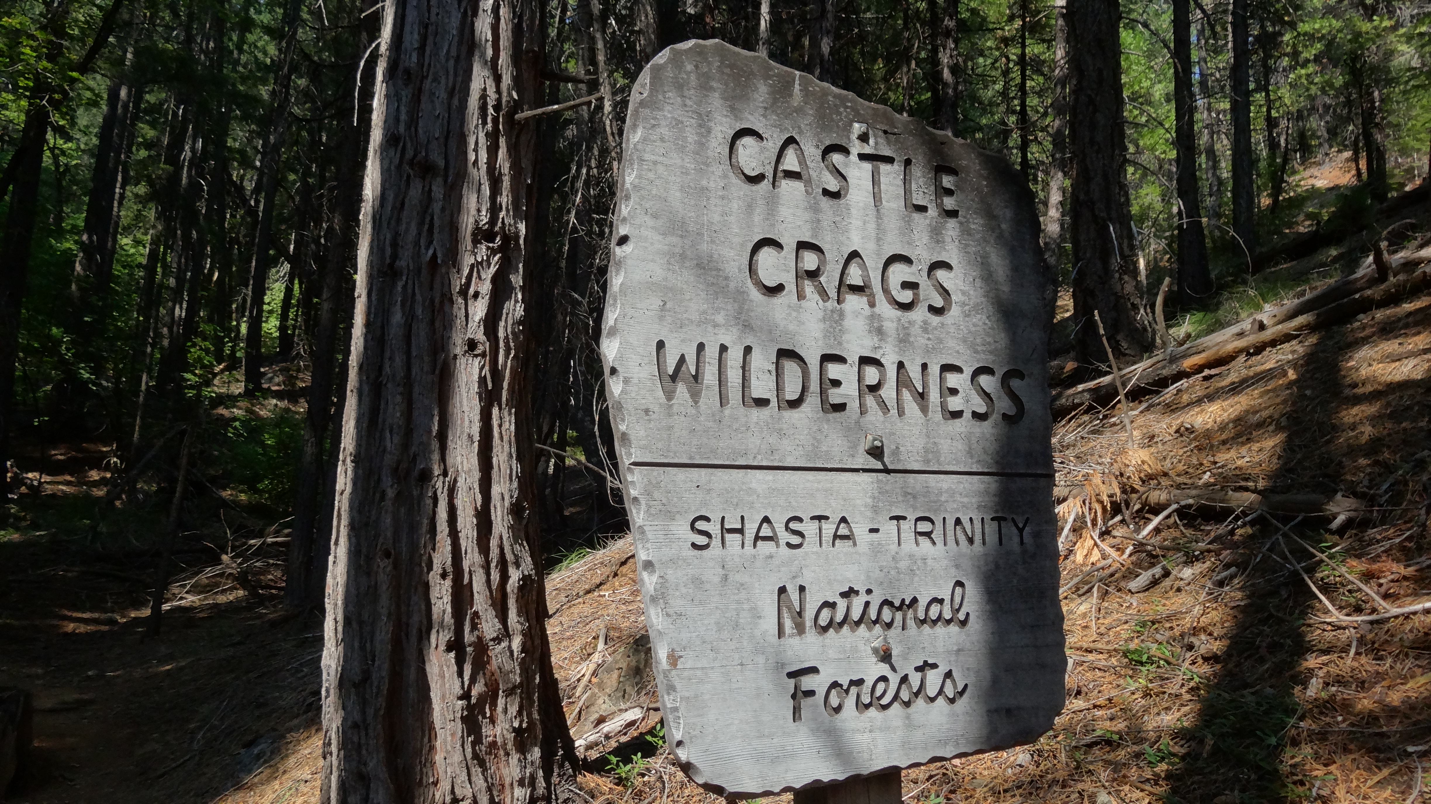
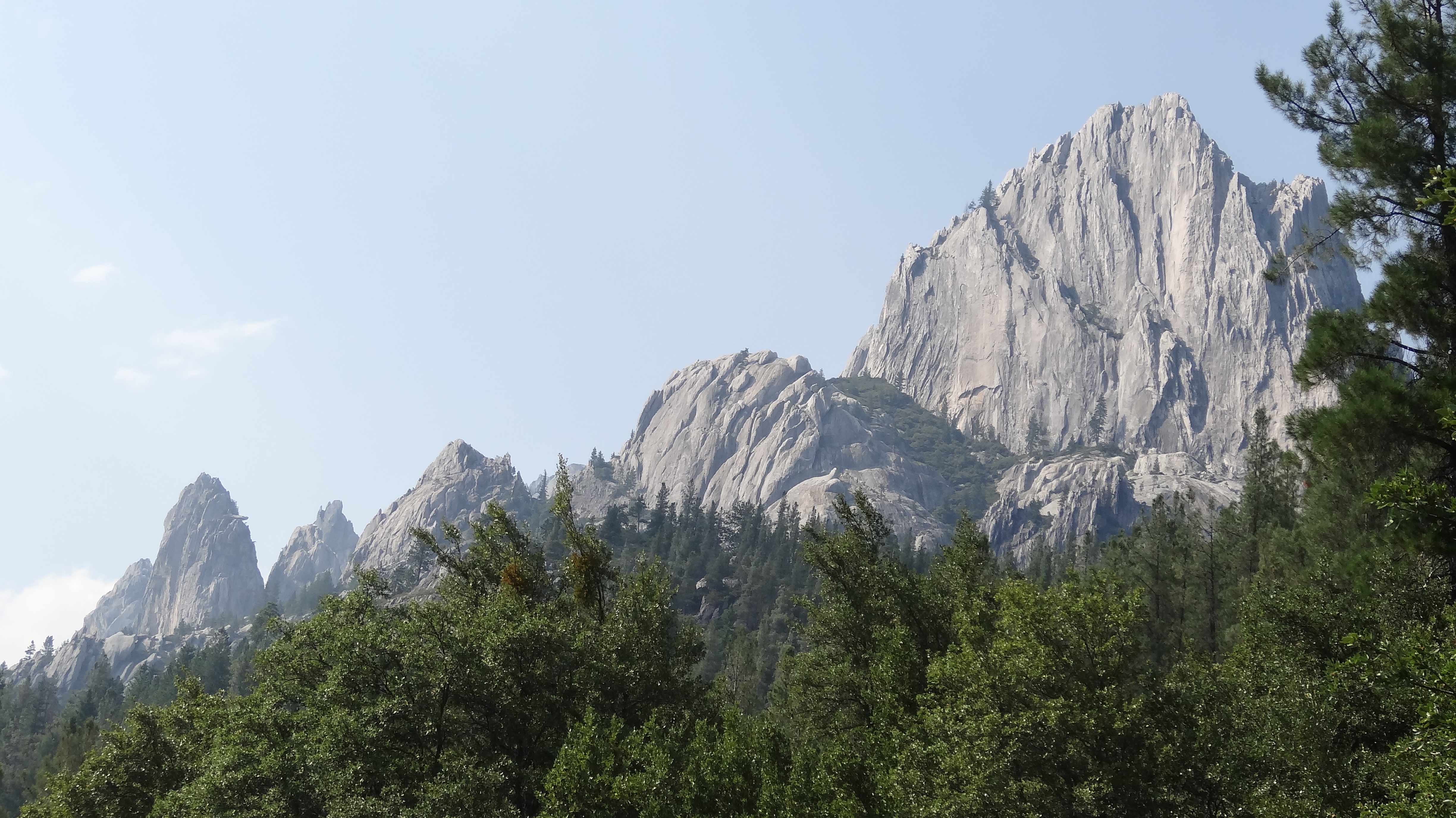
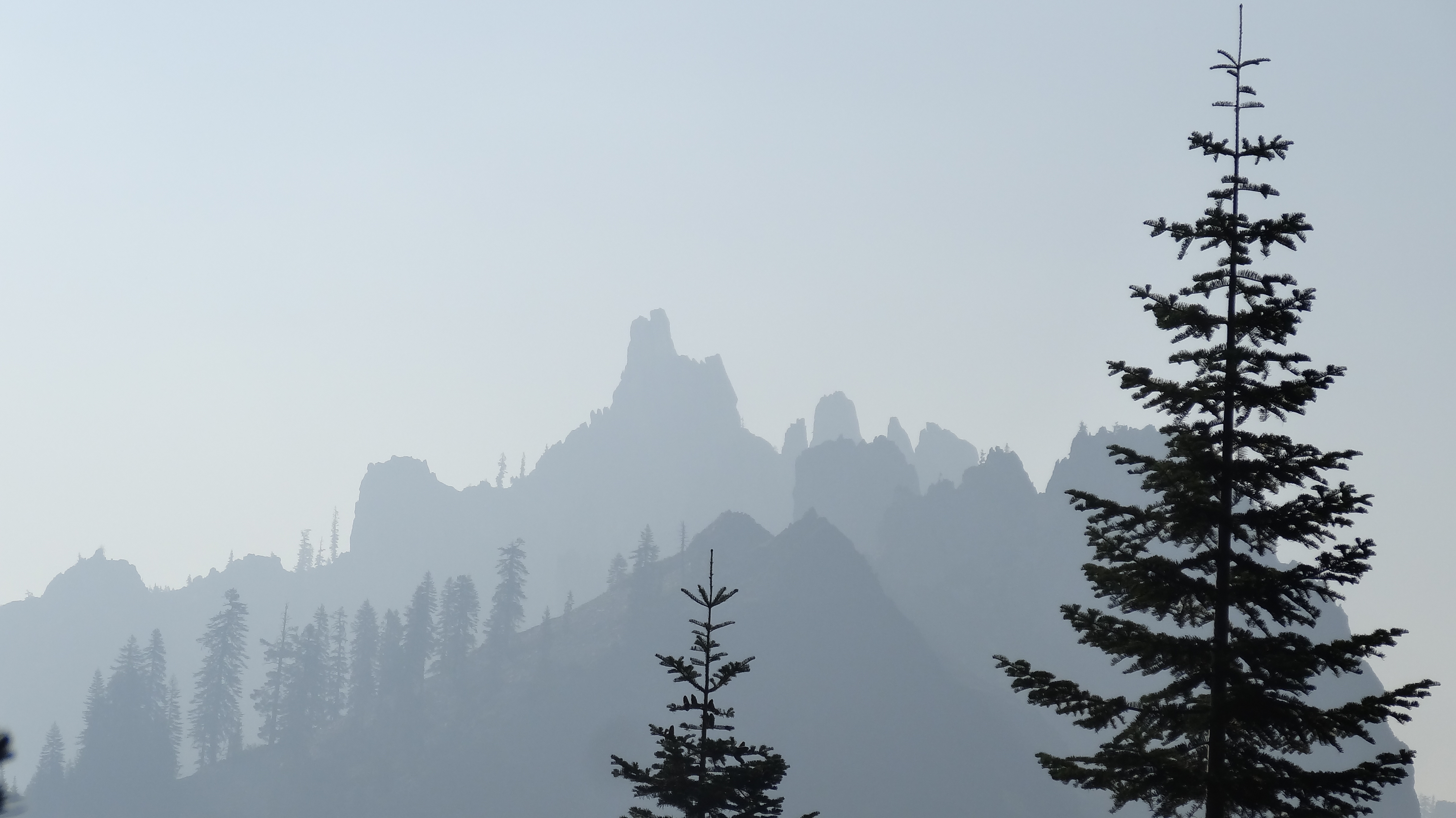
We probably should have written this post 1000 miles ago, but better late than never, I suppose. Trail names are one of the most beloved traditions on long trails. Basically, every hiker receives a nickname early on in the hike. The names can be based on almost anything: a funny quirk about the person, something unique that they carry, a hiking style, a fashion style, something they eat, a funny event that happend to them, a physical attribute, a resemblance to a famous person or character, etc.

There are a few rules when it comes to receiving a trail name. Traditionally, the name must be bestowed upon you; you can not give yourself a name (although there are a few exceptions). You can reject some of the suggested names if they are unreasonable. A trail name is generally not considered official until you sign a trail register with it. And you shouldn’t try to change your name after a few hundred miles of going by that name. Some people never take a trail name for whatever reason, but it is all up to the person. As they say on the trail: hike your own hike.

Here is a short (but far from exhaustive) list of folks we have hiked with: Cuddles, Fun Size, Fuller, Uni-Croc and Scat Tracker, Peter Pan, Blur, Goodall, #2, Mr. Green, Manchurian, Hoop Dreams, Dish Cloth, Senor Verde, Shedder and Roo, Robin Hood, Shotput, Mudd and Dingo, Drop Bizkit, Acid Glasses, Nightcrawler, Toots McGoots and Tears for Beers, Pepper Flake, Wagon Wheel, Noah the Prophet, Hermes and Lotus, Grumpy, Stumbling Beef, Leaky, Sagi, Moonshine, Wakka Wakka and Giddy-Up, 2 Bad Dogs, Can Can and Square Peg, One Pint, K-Pax, Red Bearfield, Horny Toad, Sexy Legs, Bird-Dog, The Chosen One, Johnny Reb, Shorts, Whispers, Rhymenocerous, and many many more that I can’t think of right now.

I received my trail name back at the Paradise Valley Cafe, around mile 150. It was bestowed upon me by Fun Size. The full name is Frosty the Salt Man. It was inspired by the amount of salt that is left on my shirt after my sweat evaporates (which is a lot). It looks like I’m frosted over with salt. Fun Size began singing “Frosty the salt man…” And that’s how I got my name.

Ashe’s name came 550 miles later, at Kennedy Meadows. She had received many poor suggestions, which were roundly rejected by all, but she was determined to pick one up before leaving Kennedy Meadows. One afternoon, as we chatted with friends about our experiences in Southern California, Cuddles suggested the name Goldilocks, due to the fact that she had seen three bears in the desert, which is very rare for a hiker. It quickly evolved with a few iterations, including Glocks and G-Lox. And, just as our Seattle buddies often call us Mashleigh as a couple, we’ve come to be known as Frostylocks by some friends on the trail.

Trail names are a fun tradition, but they can also be really odd at times. You can hike with someone every day for hundreds of miles and suddenly realize that you don’t even know their real name! Many of the friends we’ve made this summer don’t know us as Mark and Ashleigh. Instead, in their memories, we will forever be Frosty and Goldilocks.

Day 123, Mile 1959.1 – Lake-a-palooza

When we left the campground at Crater Lake, we hadn’t actually seen the lake yet. We had to resupply, shower, do laundry, and eat at the restaurant (three times) before we could hike the 5 miles up to the rim. After breakfast, we plodded up the steep trail to the Rim Village. There, we chugged a couple liters of water each, as there would be no on-trail water for 27 miles, which also meant carrying 4+ liters of heavy water with us down the trail. When we finally stepped out toward the rim of the crater, we were stunned by the beauty of the lake.

Crater Lake was a huge volcano that erupted around 7,700 years ago. It left a huge crater that eventually filled with snow melt and rain water, creating an amazing lake. There stands a gorgeous island near the west side of the lake called (awesomely) Wizard Island, which was created by volcanic activity after the volcano blew its top. The water in the lake is some of the bluest I have ever seen. It is ridiculously gorgeous, like something out of a fantasy.

It took us longer to hike the rim than expected, due to our need to stop every 50 yards to take photos and gape at the beauty. Eventually we left the rim with reluctance and hiked until dark in an effort to make up some miles.

On the third day out from Crater Lake, we left the official PCT and took the Oregon Skyline Trail alternate. We heard the OST was more scenic, had more water, less elevation gain, and was slightly shorter. We are not “purists,” meaning that we are okay with not walking every single step on the official PCT; we just want to walk a continuous footpath from Mexico to Canada (no skipping), which we have succeeded in doing so far. We stopped and swam in the beautiful Crescent Lake, then camped at the equally lovely Diamond View Lake, where we had a wonderful view of the sun setting over the Diamond Peaks. In the morning, we hiked to Shelter Cove Resort and had a pizza for breakfast before joining back up with the PCT.

We decided to do a lazy 19-mile day out of Shelter Cove and planned to make up for it with big miles the next day. From our campsite that night, it was 36.5 miles to Elk Lake Resort, our next resupply. Before bed, Shedder, Ashe, and I decided it was crazy to try for Elk Lake; we would sleep in a bit instead and just get close to the resort. But the next morning, we went back and forth trying to decide if we wanted to go for it. After 18 miles, we decided to do it. At mile 30, we learned that the restaurant at the resort would close at 7pm (not 8pm, as thought), so we pushed hard for the last 6.5 miles to arrive at 6:40pm. We had done 36.5 miles in 12 hours, the last 5.5 hours without a break through thunder storms. We ate up a burger and salad joyfully and exhausted. In an amazing act of kindness, the resort staff offered to let a dozen of us sleep out on the back porch so that we wouldn’t have to set up camp in the rain.

We’ve made it to Central Oregon and are heading into Bend soon for a quick break. Then we are off to Timberline Lodge and Mt. Hood. It feels like Oregon is flying by.

image

Our First view of the amazing Crater Lake.

image

Crater Lake. Wizard Island is on the left.

image

Shedder and I checking out the scene.

image

Ashe was impressed.

image

Wizard Island.

image

Shedder, Goldilocks, and Frosty!

image

Taking in our last views of the lake.

image

We really didn’t want to leave.

image

Thanks for the warning!

image

Mt. Thielsen.

image

The back side of Thielsen.

image

Won’t go any higher than this for the rest of the trip!

image

Old Man’s Beard Moss.

image

Diamond View Lake. One of our best campsites on the trail.

image

We were treated to an amazing sunset.

image

Ashe checking it out.

image

It was pretty amazing.

image

The fire pit at Shelter Cove.

image

Shelter Cove.

image

There is always time for a swim.

Day 117, Mile 1829.3 – The Laziest Oregon Days

We ended up taking two full zeros in Ashland. It was wonderful seeing my parents and sister. We spent the days wandering the town and eating… and eating… and eating. The town had a lot of charm and it was difficult to leave, but we eventually peeled ourselves away from the comforts of town life and hit the trail.

We weren’t particularly motivated after being spoiled by my family and only made it 16 miles up the trail before taking an unscheduled stop at Green Springs Inn about 2 miles off trail. The people there were ridiculously friendly. We sat down for dinner and enjoyed a free beer (on the house for PCT hikers). There happened to be a live band playing that night outside on the porch. It was wonderful – we stuffed ourselves with burgers, wound up with free slices of pie, and settled in for a night of free camping on their property.

Again, the next day, we were’t feeling super motivated. We got sucked into the Inn’s vortex while waiting for a hitch back to the trail and ended up staying ’till 10am to eat breakfast. We stopped at a lake mid-day and swam, hiked on, and felt like we were making good progress, but at the end of the day we had only made it 19 miles.

We managed to get an earlier start the next day but made yet another unscheduled stop at Fish Lake Resort, where again, the people were ridiculously nice to us. We stuffed ourselves with more food and reluctantly waddled on to avoid getting sucked into staying the night. We were determined to do some serious hiking that day and ended up going some 25 miles, the last 10 being furiously quick.

The hiking so far in Oregon has been incredibly nice. We had to hike over some volcanic rocks just north of Ashland, but over all, it’s been soft dirt and easy climbs and descents (if you can even call them that). Large pine and cedar woods have been shading us most of the way with cooler temperatures.

We’ve made it to Crater Lake and are eager to get up on the rim for some views. We promise our next post will have some pictures of the lake. Our next stop will be Bend, one of the beer capitals of the country… so apologies in advance if our next post is less coherent…

image

image

image

image

image

image

image

image

image

image

image

image

image

image

Day 111, Mile 1726.8 – Fire, Rain, and Oregon!

The morning we were to leave Etna, we were awoken early with knocking on the door of our room. I check my watch – 4:00am. I open the door to find Shedder standing in his boxers looking rather freaked out. “There’s a fire down the street. We gotta get out of here,” he says to us. We follow him to the porch and see, through the trees, the orange glow of a fire very close to the B&B. We quickly gather our things and race down to the car. Hikers staying in the “Hiker Hut” (run by the B&B) or camping around the property of the B&B are all scrambling about, packing up their stuff in the dark. We can see the glow of the fire just down the street and hear people yelling. Everyone has been on edge due to all the wildfires in the area.

I run down the street to see what’s happening and see a three-story Victorian home ablaze. Firemen from all over the state have been called to the area for the Salmon River Complex Fire, and I soon realize that there are literally enough firemen in town to put out a hundred fires this size. So we just stand – stupefied – and watch the house burn as dozens of firemen run about. We would later learn that the house served as a small apartment building with a few tenants, including a family. One man died in the blaze, and a young woman is being charged with arson and murder.

With that ominous omen, we said goodbye and thank you to Ashleigh’s parents and hiked out into the smokey Marble Mountain Wilderness. We hiked quickly to try and get past the Salmon River Complex Fire. The Marble Mountains were gorgeous, with white limestone and dark rocks giving the hills a marble look. Cedars, Junipers, Pines, and Spruces dotted the hills and covered the valleys. We were glad to have made it out of Etna, as we feared they might soon close the trail due to the fire. We didn’t want to miss a step on the trail or the chance to experience this wonderful wilderness.

After two long days of hiking, including a 32-mile day in, we made it to Seiad Valley. It was late when we arrived, and although we were eager to reach town, we knew that the only store in Seiad Valley had already been closed for two hours, and we were trying desperately not to think about cold beer, soda, candy, chips, etc. On the way in, we passed a home with a woman outside watering her yard. We struck up a conversation, and before we knew it, she was offering to drive down and open the store for us – she worked there! We were ecstatic! We hiked quickly to the store and gleefully loaded up with beer and junk food.

Seiad Valley is famous on the trail for three reasons. The first is that it’s the last stop in California before the Oregon border. The second is its “pancake challenge” at the local cafe, where hikers make ill-fated attempts to eat five one-pound pancakes in under two hours. We did not attempt or, to our disappointment, witness anyone attempt this super gross feat. The final reason hikers talk about Seiad Valley is that it is the second lowest point on the trail, and there is a long steep climb out of it.

We left Seiad and plodded our way up into the mountains. The climb was one of the most difficult of the trail – an elevation gain of some 5,000 feet in about 8 miles. Very steep with little shade. It felt like it went on forever. At long last,we made it to the top for a late lunch and then hiked on, squeezing in a few more miles before – suddenly – a thunder storm rolled in. We took shelter under some trees and listened nervously as the lightning strikes came closer, at one point striking within what seemed like a few hundred yards of us. Luckily, the storm passed quickly and we were back on the trail, albeit a little shaken.

The next day was one we had been anticipating ever since we left the High Sierra. We hiked 14 miles, then flew down the remaining 2 in anticipation. Oregon. The Oregon/California border! We had hiked 1698 miles, the entire length of the state of California, one step at a time. It felt amazing and surreal. We had packed in 24oz cans of Coors to celebrate, chilling them in a spring 4 miles back. It was one of the best, most satisfying beers I’ve ever tasted.

After we had our moment at the border, we hiked on and spent our first night in Oregon. Around midnight, it stormed on us again, with lightning and heavy rains, but by morning, it was done. We continued on toward Ashland and met up with Roo about 5.5 miles shy of town. (Sadly, Roo decided to leave the trail in Etna, but she drove to Ashland to meet up with us.) We gave her our packs and jogged the last few miles into Ashland, where we met up with my parents and sister! It was great to see them and spend a couple days hanging out. From here, we hike on to beautiful Crater Lake! We’re excited to start this next leg of our journey!

image

image

image

image

image

image

image

image

image

image

image

image

image

image

image

image

image

Day 105, Mile 1606.5 – Where There’s Smoke…

There have been reports of smoke from the wildfires in Southern Oregon drifting as far south as the Bay Area in California. We heard about this news as we left Castella, but Oregon still seemed very far away – 200 miles away – so we kept plodding along and hoped the fires would be contained by the time we reached the border. However, as we ascended into the beautiful Castle Crags Wilderness, we soon learned that the fires were about to affect our hike in ways we were unprepared for.

Castle Crags is a rock formation within the Shasta-Trinity National forest. It is known for its beauty and is a popular stop for tourists. Unfortunately, as we climbed toward the wilderness, we encountered a thick layer of smoke laying like a blanket over the hills. At first it looked kind of pretty; it made silhouettes of the trees on the hillside against the horizon. But soon we grew to resent the smoke. As we walked, it began to obstruct our views of what we knew was supposed to be beautiful wilderness, and later on it grew thicker.

We would later learn from a day hiker that there was a new fire, one just east of Etna, California. Great, we thought – Etna was our next stop on trail, and we were going to meet Ashe’s parents for a night at a B&B. We continued to hike – what else were we to do but move forward into the Trinity Alps? As we went, the smoke grew thicker and thicker. We could smell it; it filled and stung our mouths as we breathed, and we grew lightheaded.

We hiked with our friends Drop Bizkit, Shedder, and Roo and pushed on to Etna. We made it there safe and sound through the smoke and met up with Ashleigh’s parents who brought all sorts of baked goods, fruit, and goodies. We hike out tomorrow with hopes that the Salmon River Complex Fire, the name of the fire near Etna, will not come closer to the trail. The latest news we heard was that the fire was just 5% contained. We hope to do some big miles out of Etna to escape the blaze. Wish us luck.

DSC02461

Left Shoe: 800 Miles. Right Shoe: 0 Miles.

DSC02462

The beautiful Castle Crags Wilderness

DSC02466

Castle Crags, crystal clear

DSC02480

A deer friend at a spring in the morning

DSC02485

The smoke rolled into Castle Crags Wilderness.

DSC02487

Carnivorous Pitcher Plants

DSC02492

Sunset through the haze of smoke

DSC02502

The grey smoke obstructed our views.

DSC02514

Trees eat the signs out here.

DSC02521

Morning smoke in the Russian Wilderness

DSC02530

Ashe and Drop Bizkit. You can see Mt. Shasta in the distance just poking up on the left over the smoke.

DSC02528

The smoke covered the land in a thick fog.