Category Archives: PCT 2013

Day 111, Mile 1726.8 – Fire, Rain, and Oregon!

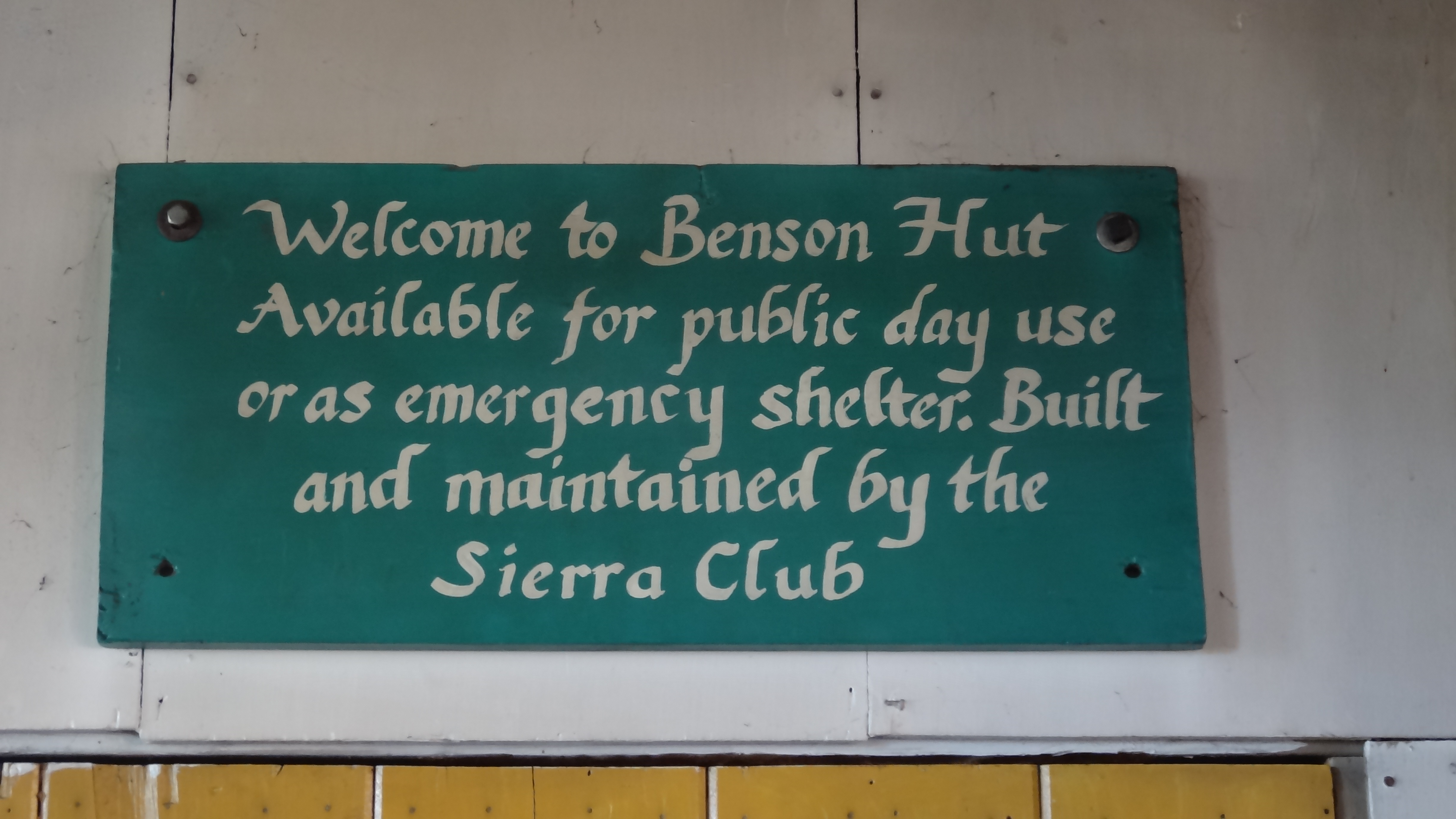
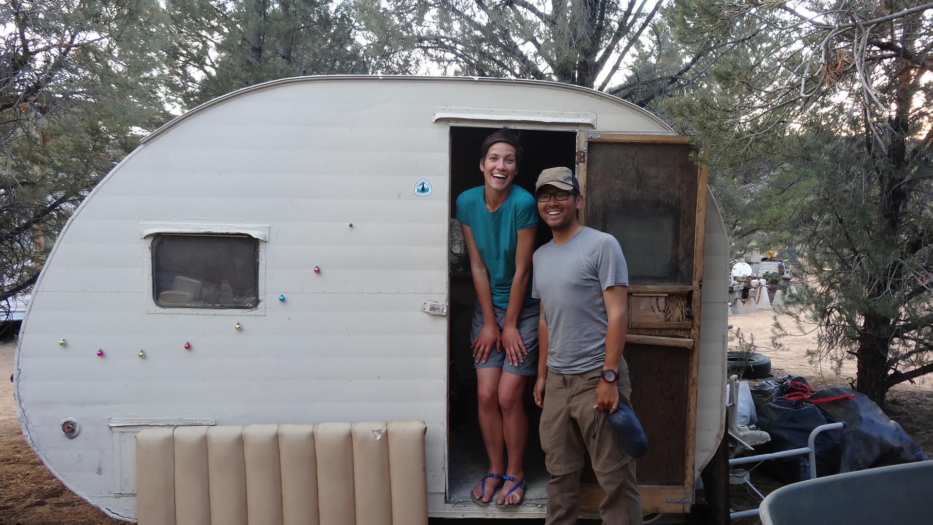
The morning we were to leave Etna, we were awoken early with knocking on the door of our room. I check my watch – 4:00am. I open the door to find Shedder standing in his boxers looking rather freaked out. “There’s a fire down the street. We gotta get out of here,” he says to us. We follow him to the porch and see, through the trees, the orange glow of a fire very close to the B&B. We quickly gather our things and race down to the car. Hikers staying in the “Hiker Hut” (run by the B&B) or camping around the property of the B&B are all scrambling about, packing up their stuff in the dark. We can see the glow of the fire just down the street and hear people yelling. Everyone has been on edge due to all the wildfires in the area.

I run down the street to see what’s happening and see a three-story Victorian home ablaze. Firemen from all over the state have been called to the area for the Salmon River Complex Fire, and I soon realize that there are literally enough firemen in town to put out a hundred fires this size. So we just stand – stupefied – and watch the house burn as dozens of firemen run about. We would later learn that the house served as a small apartment building with a few tenants, including a family. One man died in the blaze, and a young woman is being charged with arson and murder.

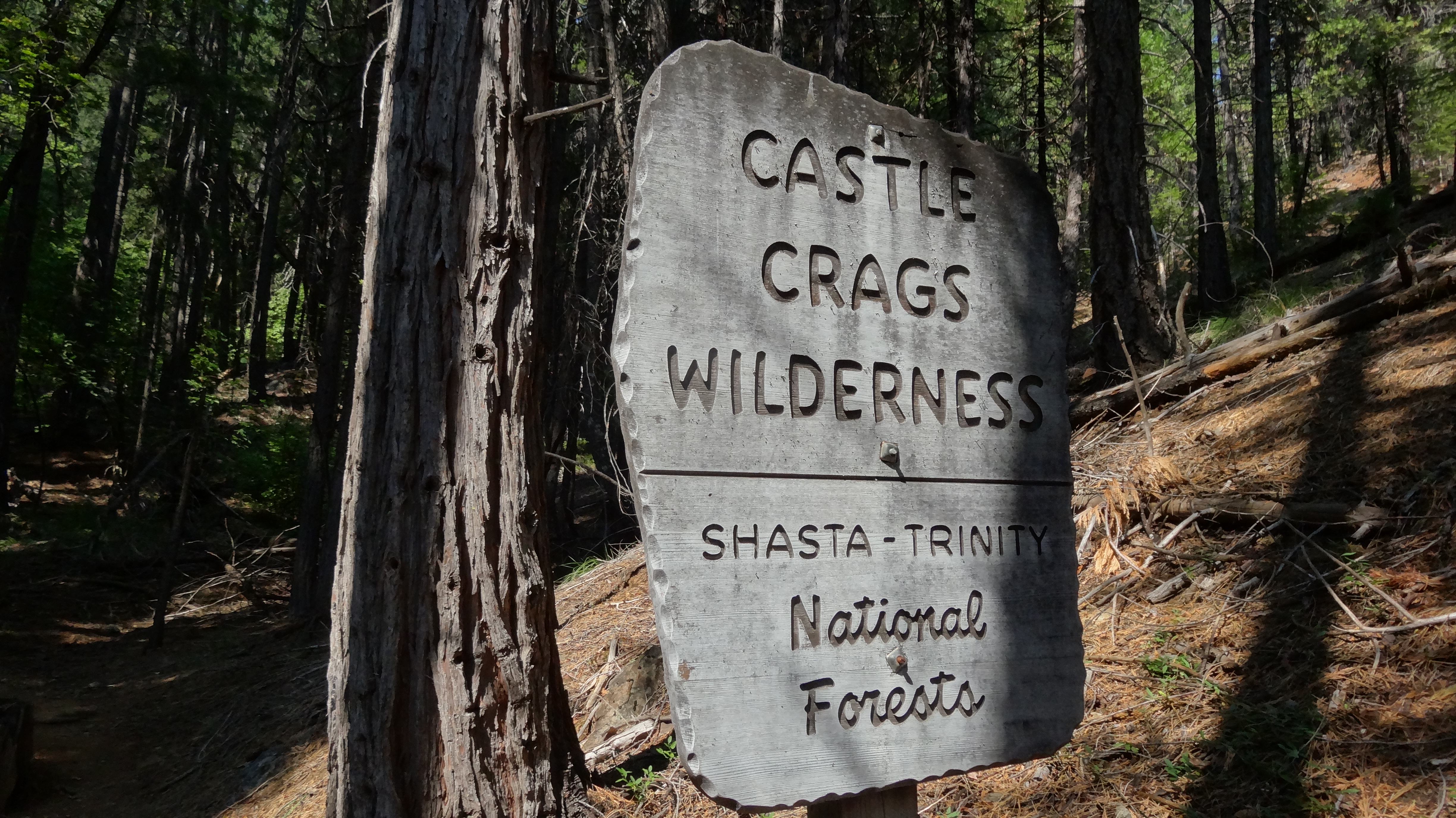
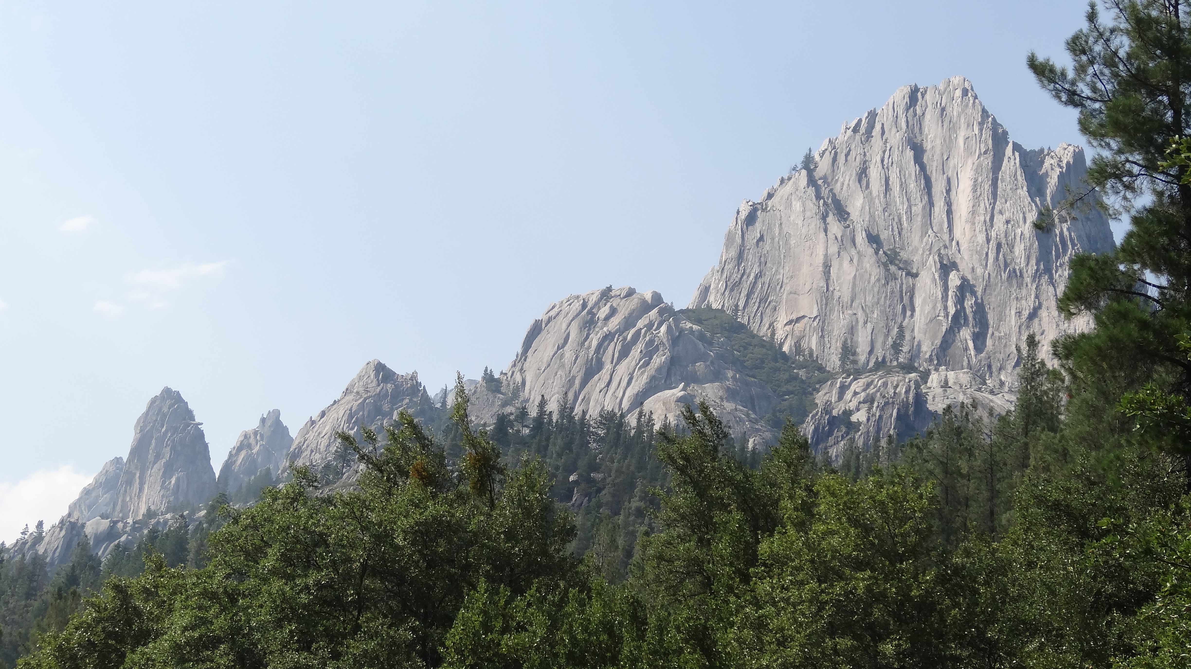
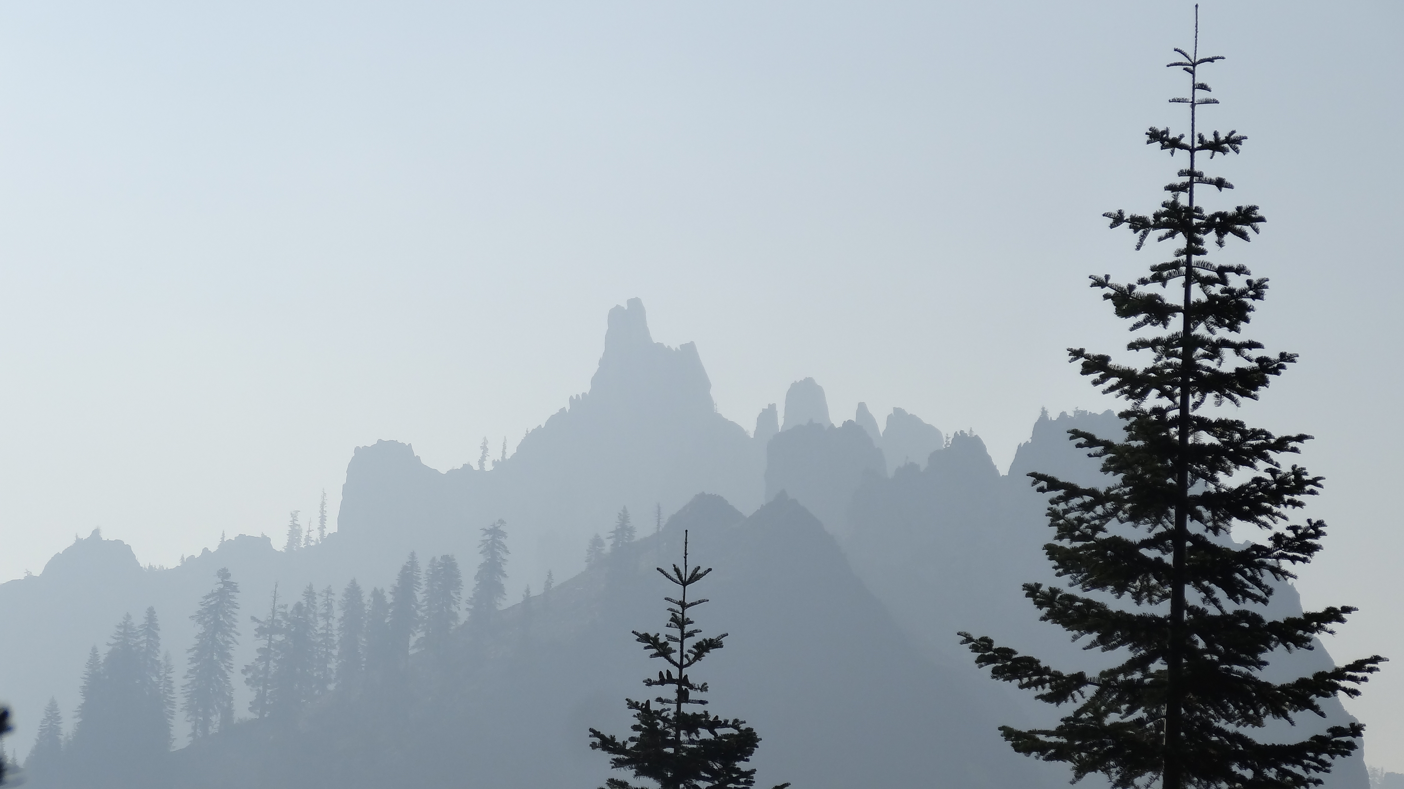
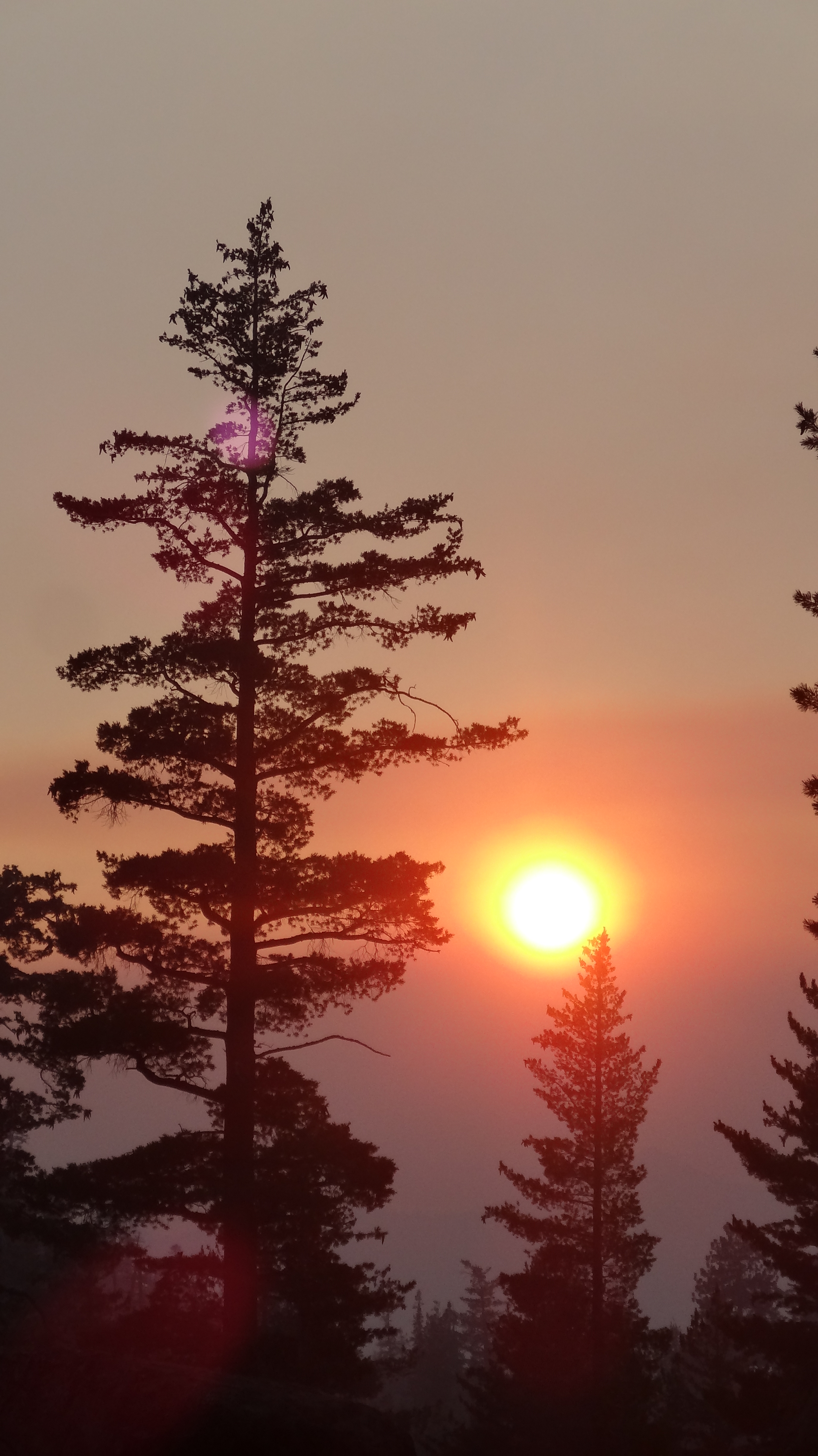
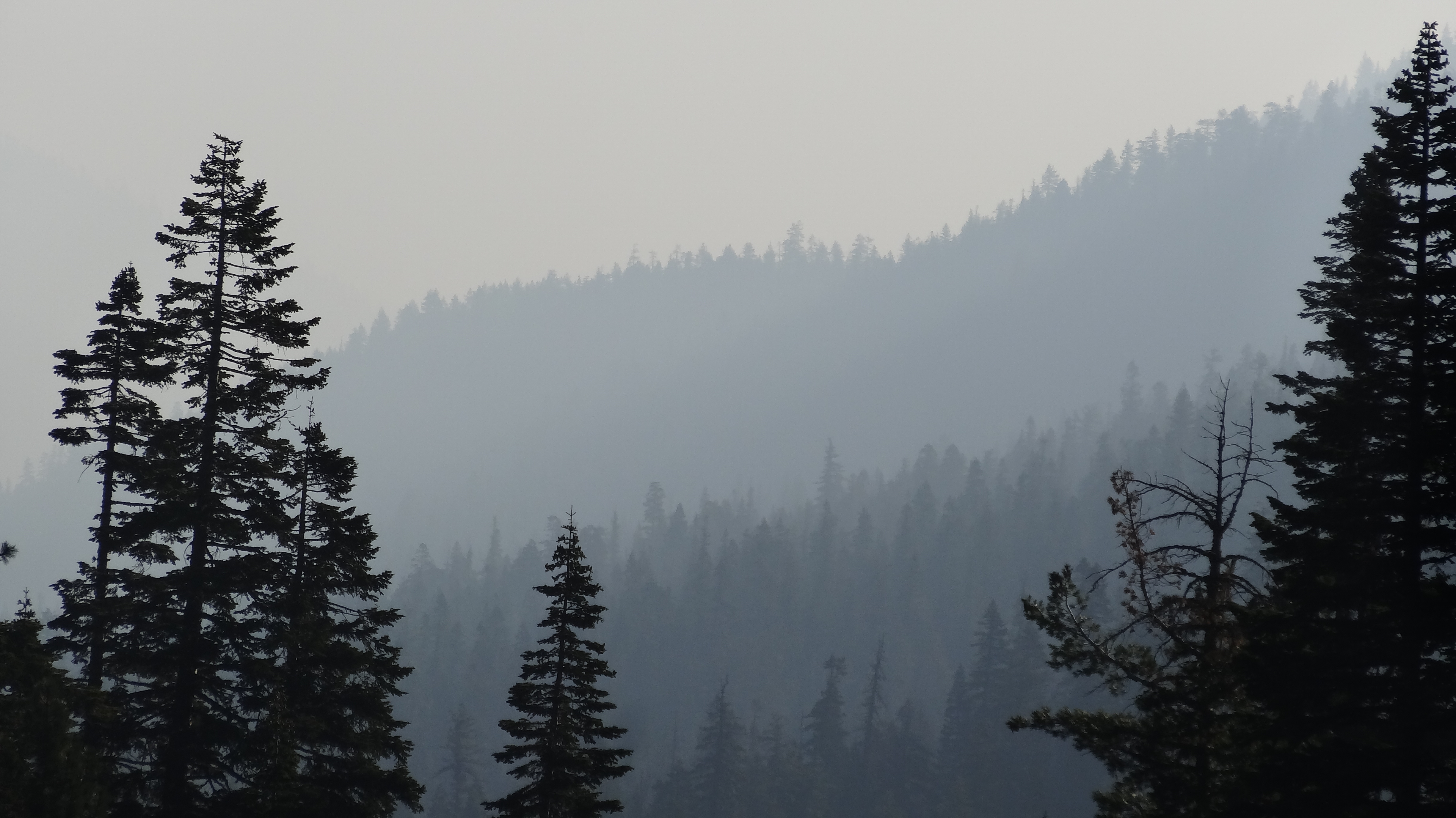
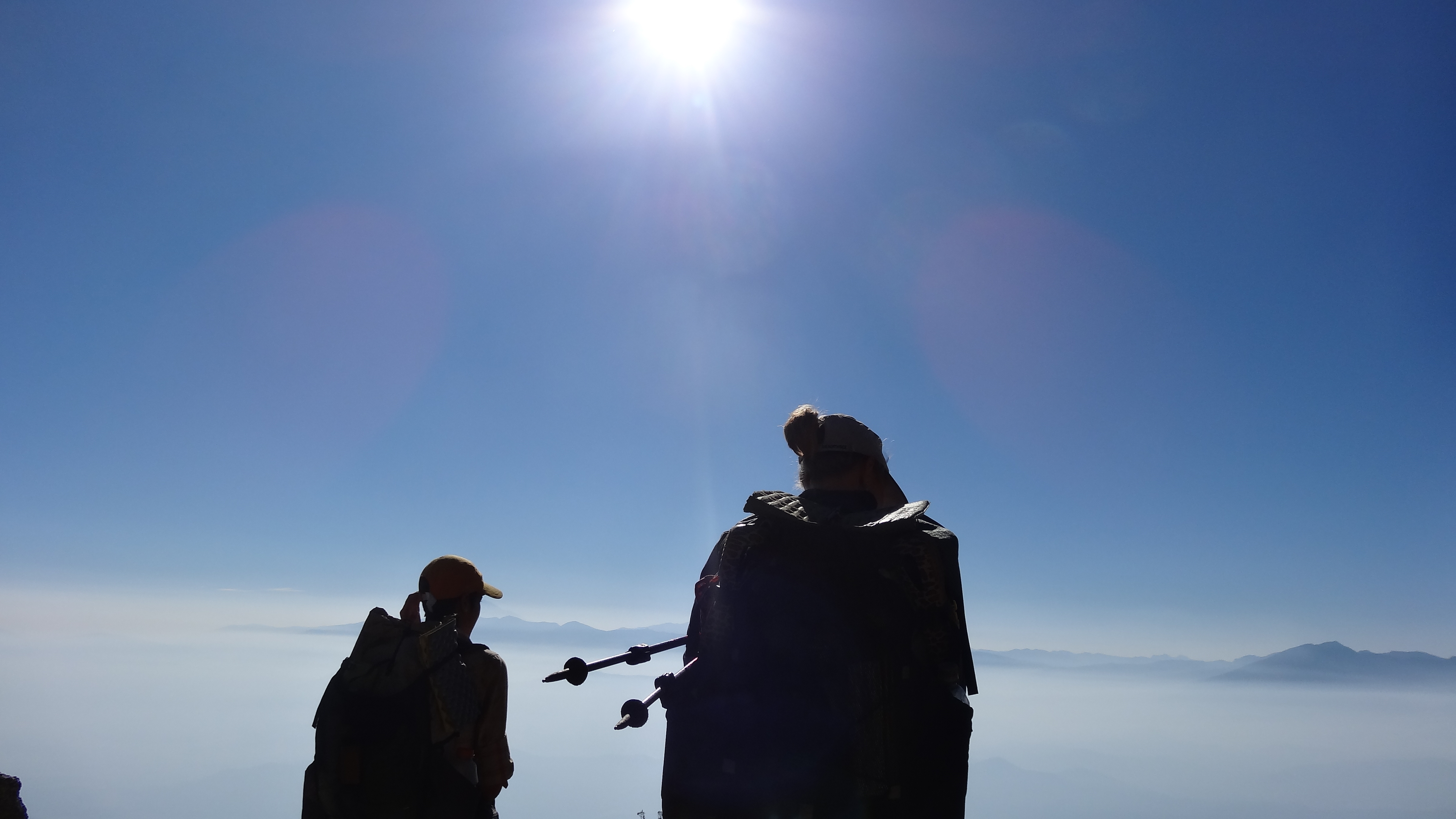
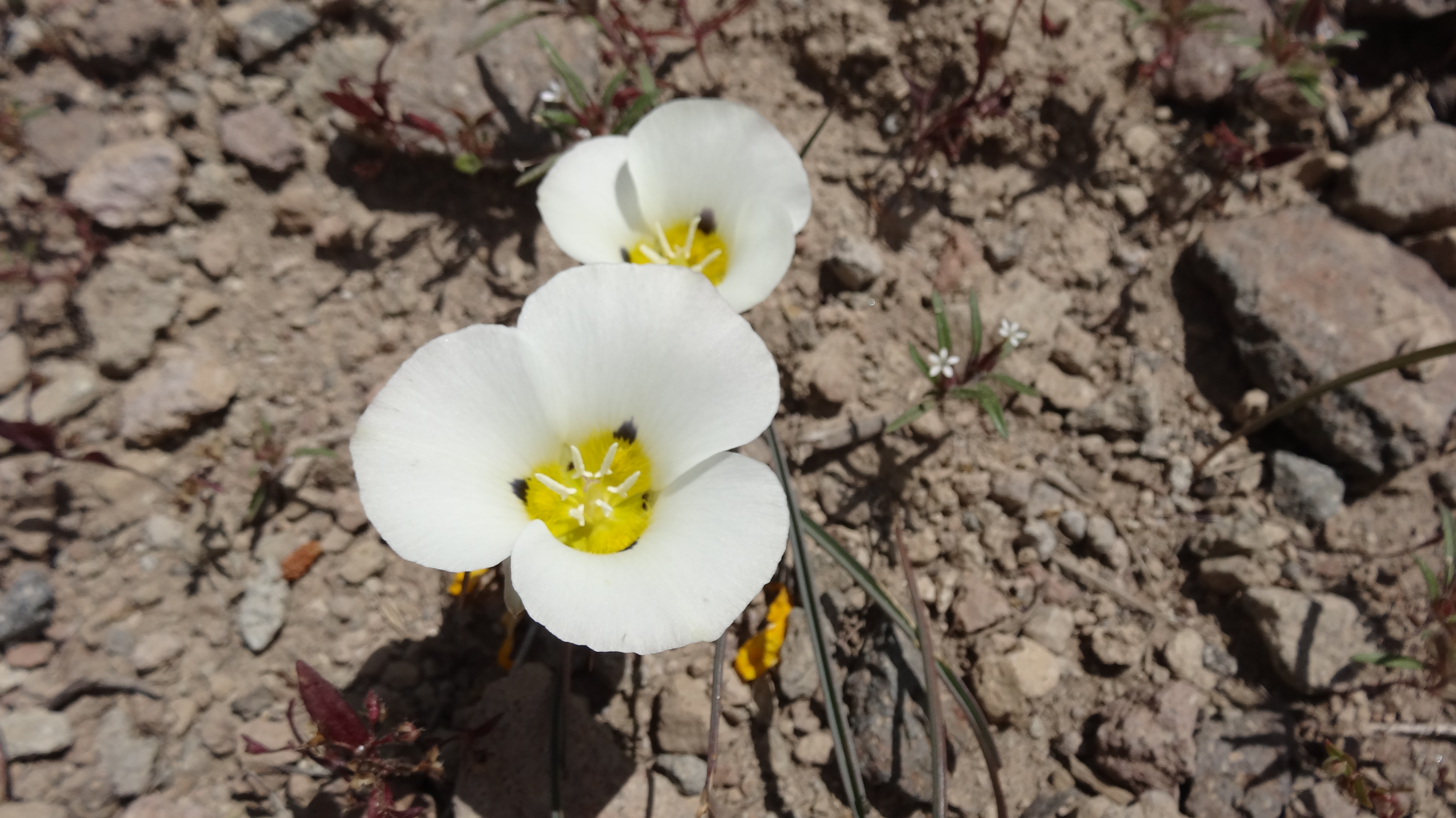
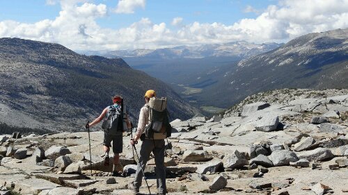
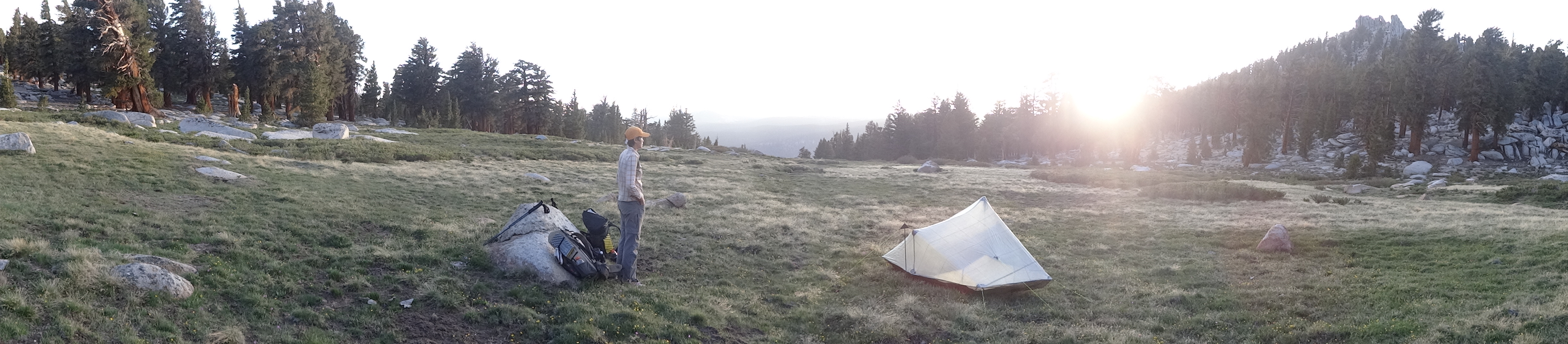
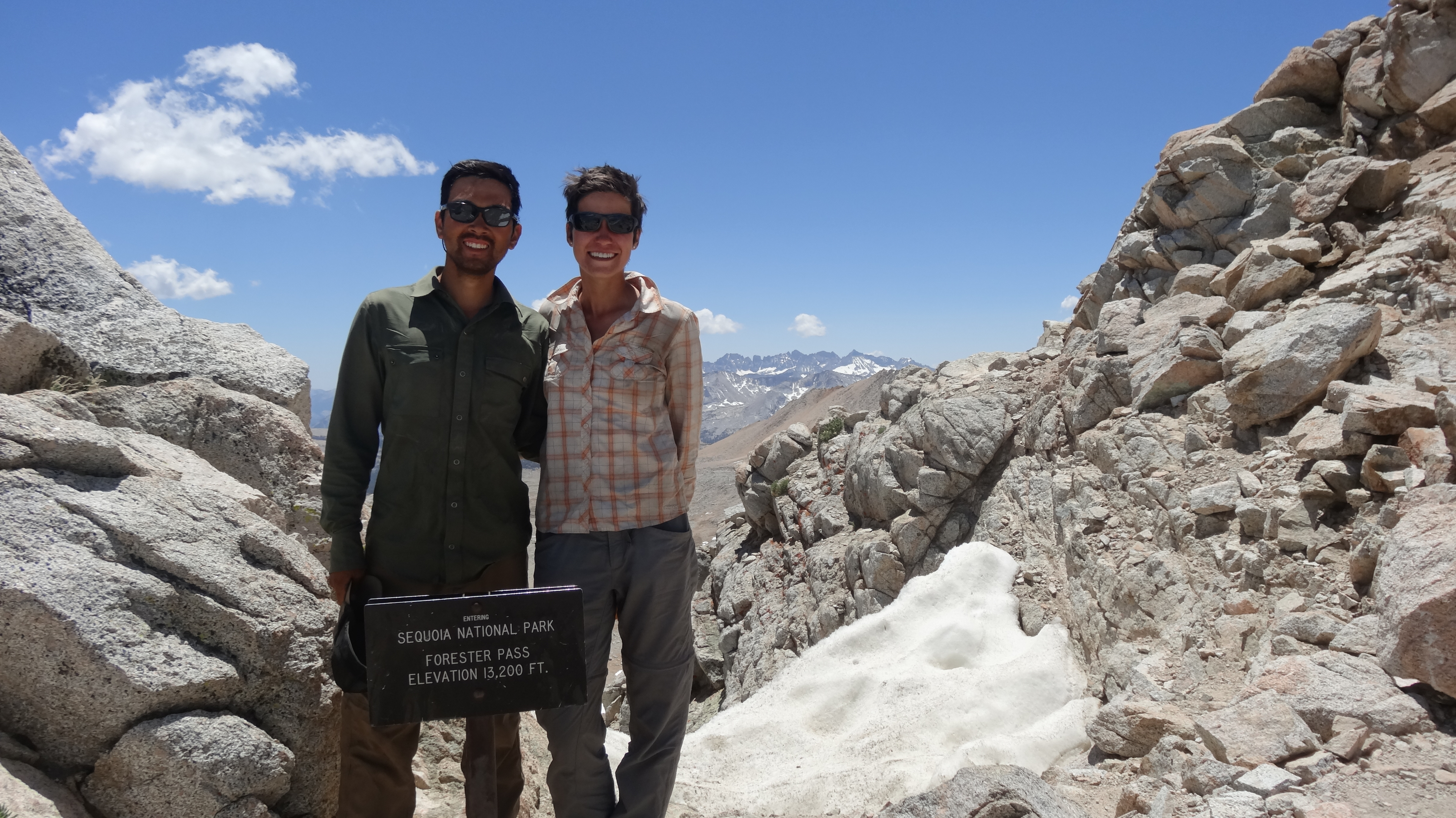
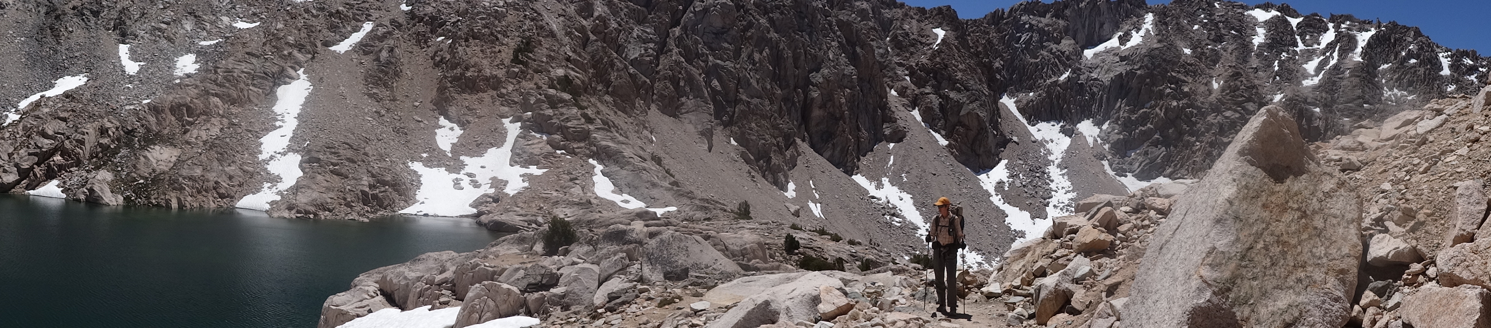
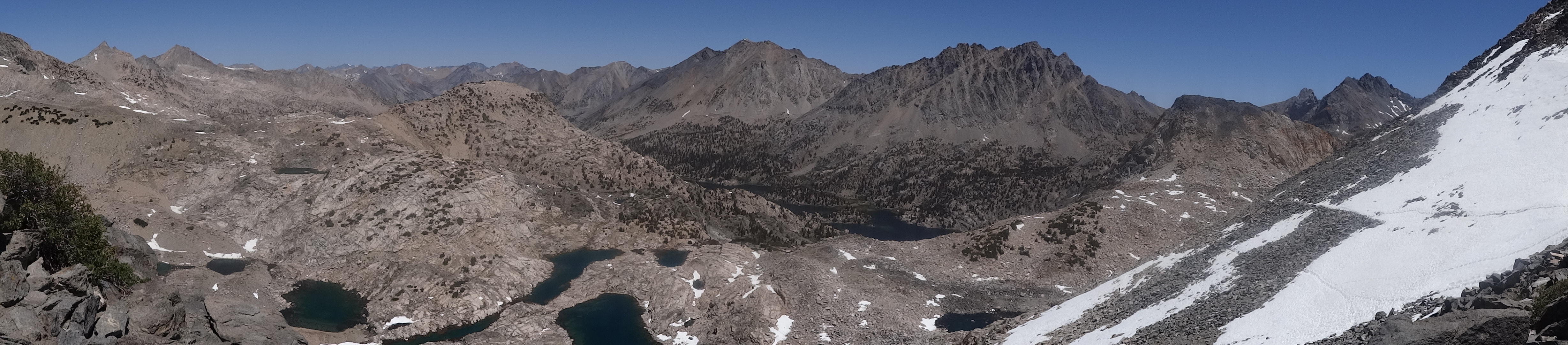
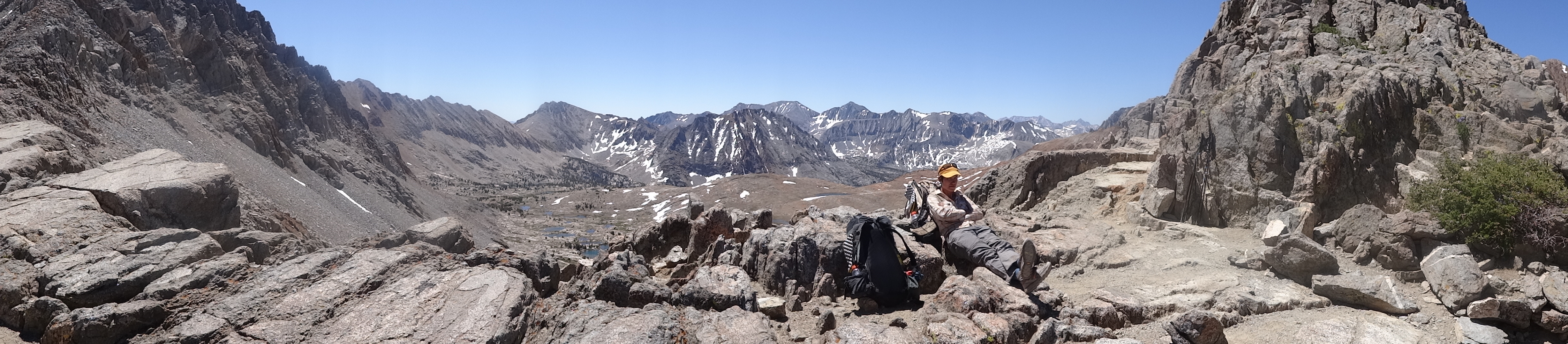
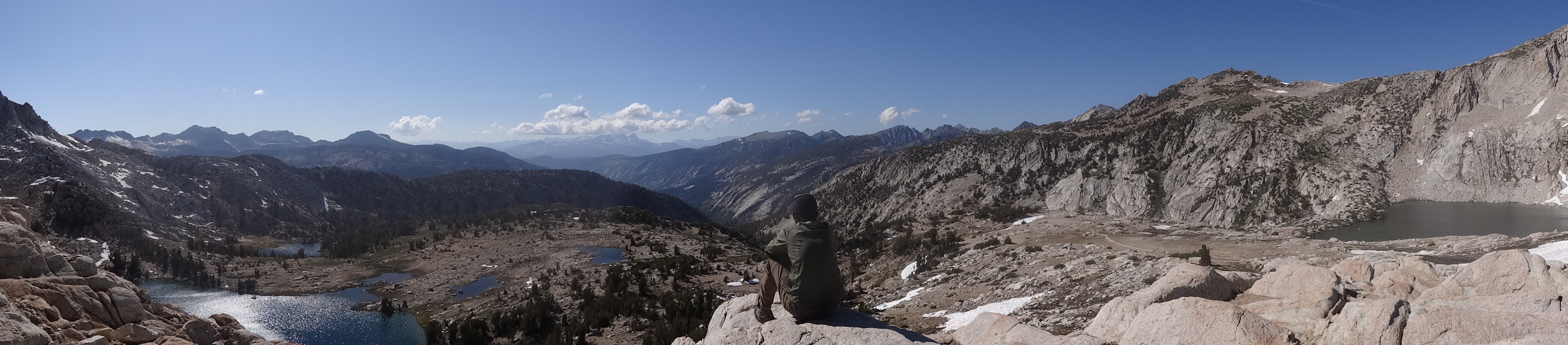
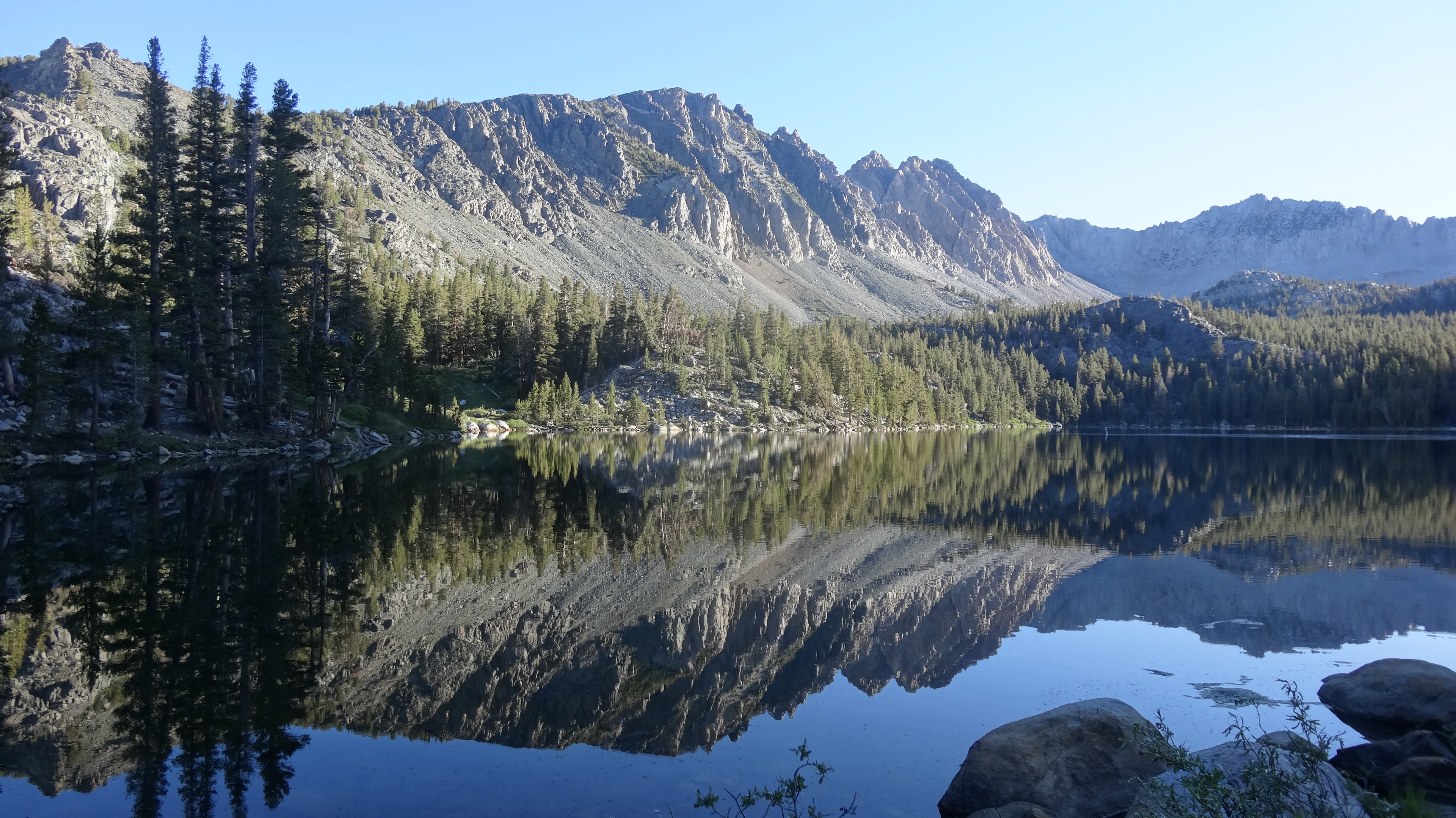
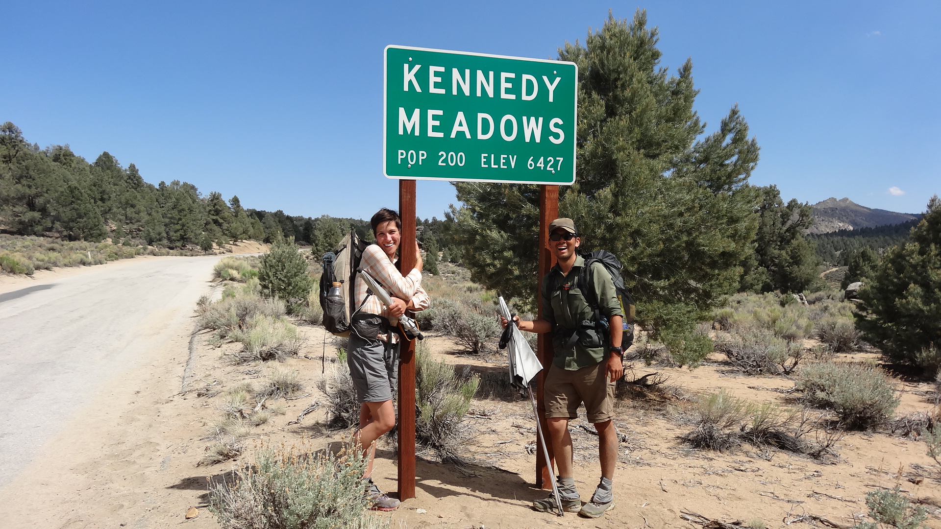
With that ominous omen, we said goodbye and thank you to Ashleigh’s parents and hiked out into the smokey Marble Mountain Wilderness. We hiked quickly to try and get past the Salmon River Complex Fire. The Marble Mountains were gorgeous, with white limestone and dark rocks giving the hills a marble look. Cedars, Junipers, Pines, and Spruces dotted the hills and covered the valleys. We were glad to have made it out of Etna, as we feared they might soon close the trail due to the fire. We didn’t want to miss a step on the trail or the chance to experience this wonderful wilderness.

After two long days of hiking, including a 32-mile day in, we made it to Seiad Valley. It was late when we arrived, and although we were eager to reach town, we knew that the only store in Seiad Valley had already been closed for two hours, and we were trying desperately not to think about cold beer, soda, candy, chips, etc. On the way in, we passed a home with a woman outside watering her yard. We struck up a conversation, and before we knew it, she was offering to drive down and open the store for us – she worked there! We were ecstatic! We hiked quickly to the store and gleefully loaded up with beer and junk food.

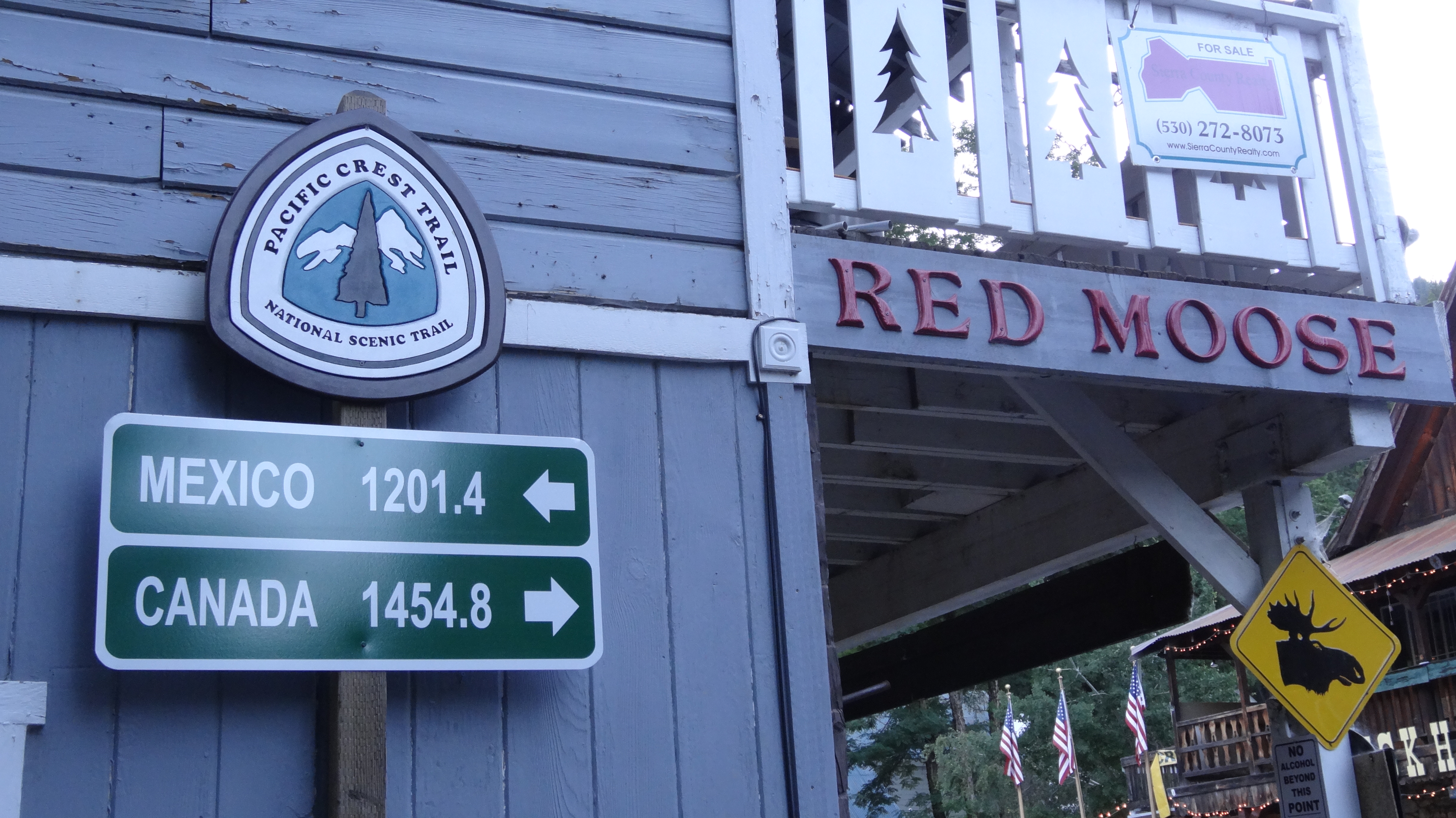
Seiad Valley is famous on the trail for three reasons. The first is that it’s the last stop in California before the Oregon border. The second is its “pancake challenge” at the local cafe, where hikers make ill-fated attempts to eat five one-pound pancakes in under two hours. We did not attempt or, to our disappointment, witness anyone attempt this super gross feat. The final reason hikers talk about Seiad Valley is that it is the second lowest point on the trail, and there is a long steep climb out of it.

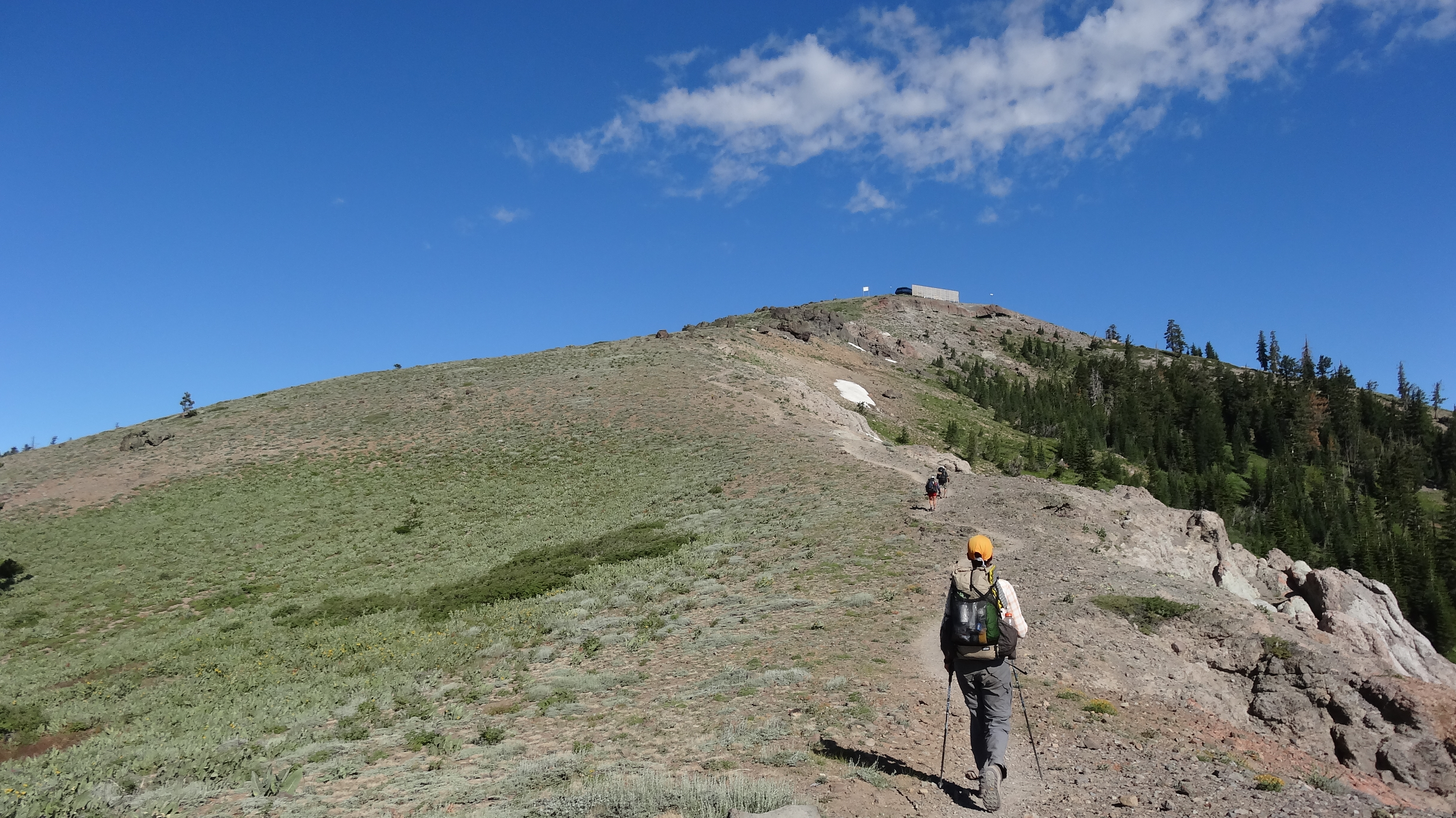
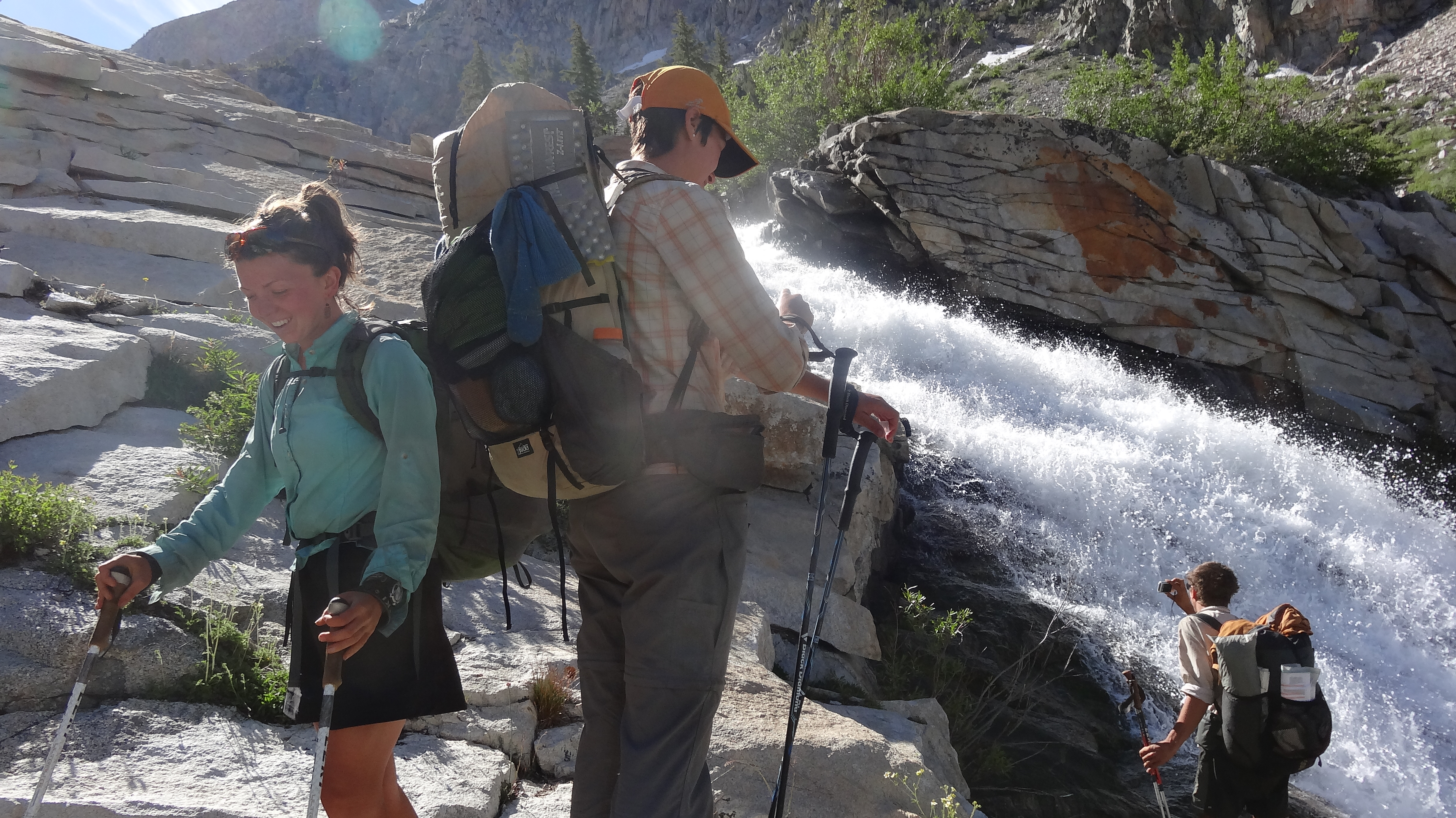
We left Seiad and plodded our way up into the mountains. The climb was one of the most difficult of the trail – an elevation gain of some 5,000 feet in about 8 miles. Very steep with little shade. It felt like it went on forever. At long last,we made it to the top for a late lunch and then hiked on, squeezing in a few more miles before – suddenly – a thunder storm rolled in. We took shelter under some trees and listened nervously as the lightning strikes came closer, at one point striking within what seemed like a few hundred yards of us. Luckily, the storm passed quickly and we were back on the trail, albeit a little shaken.

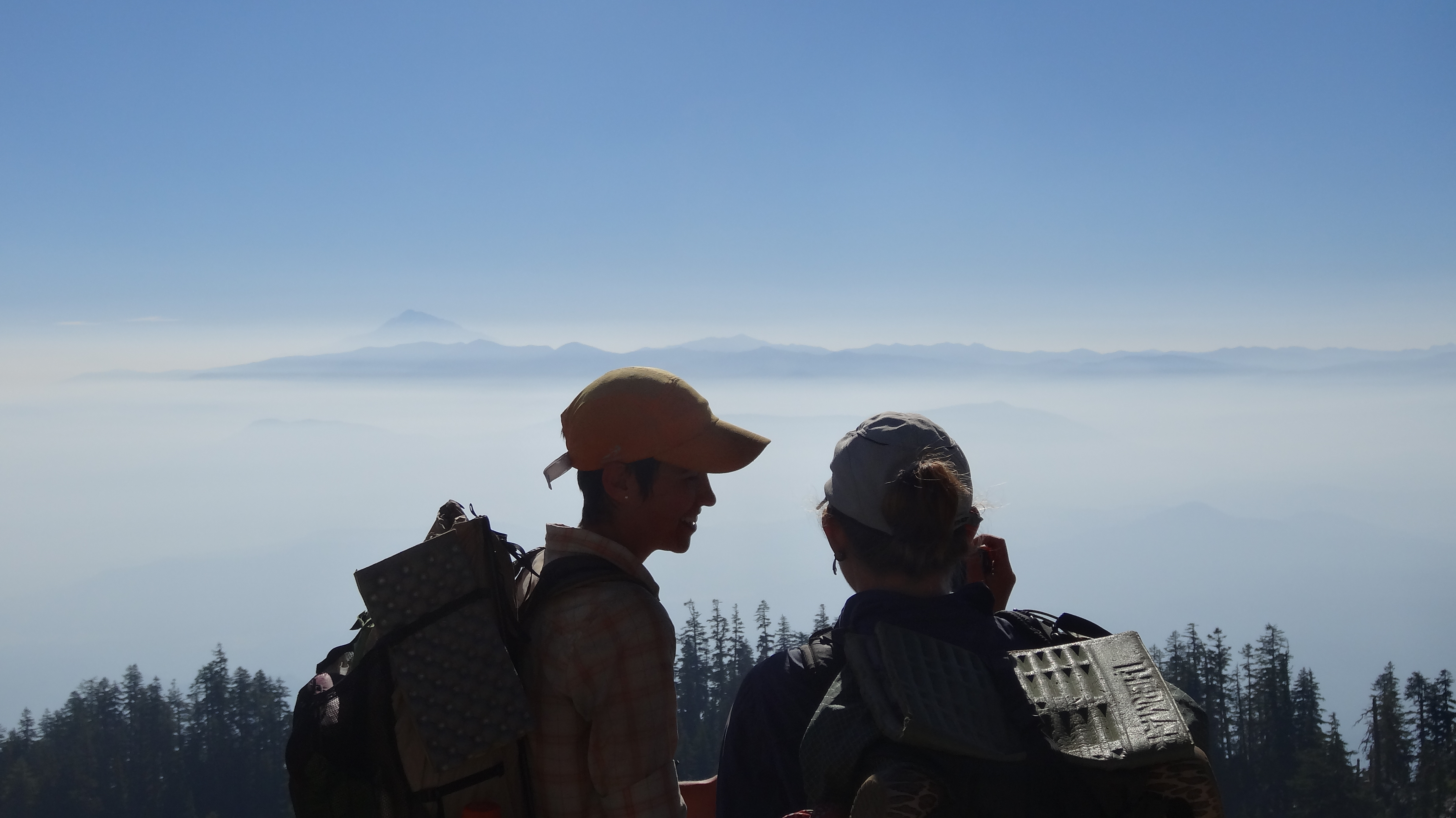
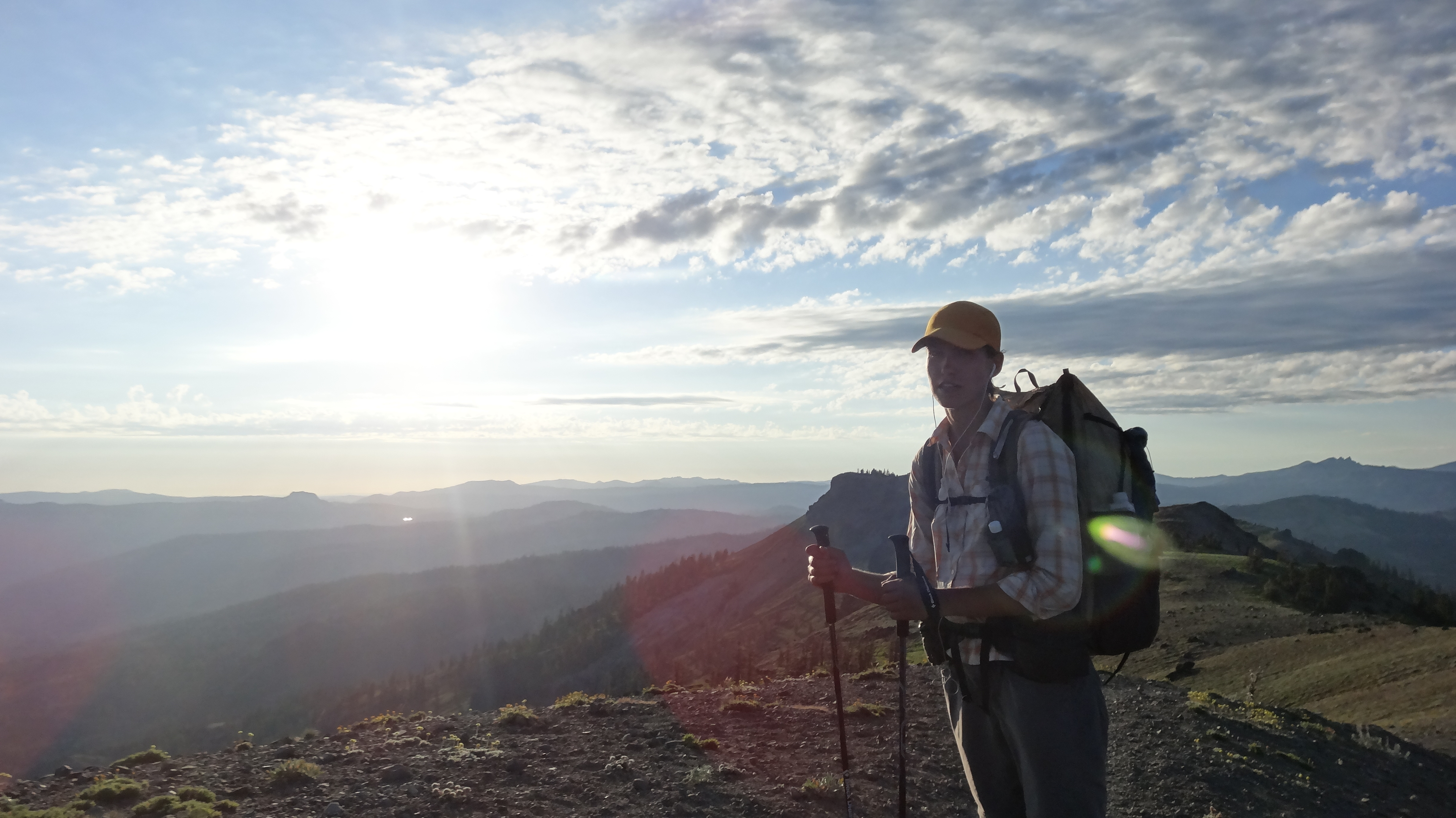
The next day was one we had been anticipating ever since we left the High Sierra. We hiked 14 miles, then flew down the remaining 2 in anticipation. Oregon. The Oregon/California border! We had hiked 1698 miles, the entire length of the state of California, one step at a time. It felt amazing and surreal. We had packed in 24oz cans of Coors to celebrate, chilling them in a spring 4 miles back. It was one of the best, most satisfying beers I’ve ever tasted.

After we had our moment at the border, we hiked on and spent our first night in Oregon. Around midnight, it stormed on us again, with lightning and heavy rains, but by morning, it was done. We continued on toward Ashland and met up with Roo about 5.5 miles shy of town. (Sadly, Roo decided to leave the trail in Etna, but she drove to Ashland to meet up with us.) We gave her our packs and jogged the last few miles into Ashland, where we met up with my parents and sister! It was great to see them and spend a couple days hanging out. From here, we hike on to beautiful Crater Lake! We’re excited to start this next leg of our journey!

image

image

image

image

image

image

image

image

image

image

image

image

image

image

image

image

image

Day 105, Mile 1606.5 – Where There’s Smoke…

There have been reports of smoke from the wildfires in Southern Oregon drifting as far south as the Bay Area in California. We heard about this news as we left Castella, but Oregon still seemed very far away – 200 miles away – so we kept plodding along and hoped the fires would be contained by the time we reached the border. However, as we ascended into the beautiful Castle Crags Wilderness, we soon learned that the fires were about to affect our hike in ways we were unprepared for.

Castle Crags is a rock formation within the Shasta-Trinity National forest. It is known for its beauty and is a popular stop for tourists. Unfortunately, as we climbed toward the wilderness, we encountered a thick layer of smoke laying like a blanket over the hills. At first it looked kind of pretty; it made silhouettes of the trees on the hillside against the horizon. But soon we grew to resent the smoke. As we walked, it began to obstruct our views of what we knew was supposed to be beautiful wilderness, and later on it grew thicker.

We would later learn from a day hiker that there was a new fire, one just east of Etna, California. Great, we thought – Etna was our next stop on trail, and we were going to meet Ashe’s parents for a night at a B&B. We continued to hike – what else were we to do but move forward into the Trinity Alps? As we went, the smoke grew thicker and thicker. We could smell it; it filled and stung our mouths as we breathed, and we grew lightheaded.

We hiked with our friends Drop Bizkit, Shedder, and Roo and pushed on to Etna. We made it there safe and sound through the smoke and met up with Ashleigh’s parents who brought all sorts of baked goods, fruit, and goodies. We hike out tomorrow with hopes that the Salmon River Complex Fire, the name of the fire near Etna, will not come closer to the trail. The latest news we heard was that the fire was just 5% contained. We hope to do some big miles out of Etna to escape the blaze. Wish us luck.

DSC02461

Left Shoe: 800 Miles. Right Shoe: 0 Miles.

DSC02462

The beautiful Castle Crags Wilderness

DSC02466

Castle Crags, crystal clear

DSC02480

A deer friend at a spring in the morning

DSC02485

The smoke rolled into Castle Crags Wilderness.

DSC02487

Carnivorous Pitcher Plants

DSC02492

Sunset through the haze of smoke

DSC02502

The grey smoke obstructed our views.

DSC02514

Trees eat the signs out here.

DSC02521

Morning smoke in the Russian Wilderness

DSC02530

Ashe and Drop Bizkit. You can see Mt. Shasta in the distance just poking up on the left over the smoke.

DSC02528

The smoke covered the land in a thick fog.

Day 100 (!), Mile 1506.5 – Reunited with Friends

Although Northern California has proven to be unexpectedly difficult for us, we’ve also had some great fortune recently. Shedder, Roo, and Jess – who have been hiking just behind us for weeks – finally caught us near Chester. It was wonderful to see some friendly faces after being separated from them for 600 miles!

Though our differing paces separated us from time to time last week, we all made it to Burney within half a day of one another. Shedder and Roo had some friends meeting them at Burney Falls State Park and offered to help us slack pack the 8 PCT miles from Burney to the park. We happily accepted and hiked to the park carrying only water and leftover pizza from the night before, while they took our gear to the campground. We spent the night car camping with their friends, eating brats and s’mores and drinking beers.

We got a late start the next day, as we wanted to hike down to Burney Falls before hitting the trail. It was amazingly gorgeous – one of the most beautiful natural scenes I’ve ever seen. The water not only ran over the top of the falls but also seemed to pour out of the side of the rocky earth itself.

We then hiked into Shasta National Forest and into blissfully cooler weather. The hiking was easy, with deep woods leading to ridges with great views of Mt. Shasta. Unfortunately, the mountain has been shrouded in a haze for days, caused by multiple wildfires around Northern California. Some are fairly close to the trail but have caused no trail closures and are now mostly contained.

Yesterday, we arrived in the tiny town of Castella and camped at the Castle Crags Campground. Shedder’s parents visited from Redding last night with some AMAZING trail magic. Pizza, soda, beer, pasta salad, fruit, sandwich fixings, chips, and much, much more. 14+ hungry hikers couldn’t even finish the spread! Today we hike on toward Etna – our last stop in California (!), where Ashleigh’s parents are planning to meet us.

image

image

image

image

image

image

image

image

image

image

image

image

Day 95, Mile 1415.9 – Heat Wave

As we left Belden and the Braaten’s, all the hikers were talking about the long 14-mile, 4,500-foot climb out of town. But there was something else on the hikers’ minds too: a reported heat wave was about to hit Northern California. And let me tell you, they weren’t kidding.

As we climbed up the hill out of Belden that morning, the temperature began to climb with us. We hit a 3-mile stretch that had been burned in a wildfire in 2008. Shade was rare, and the thermometer on my watch read 95 degrees. It wasn’t even noon yet…

The next few days brought more of the same. Amazing heat with high humidity that makes us horribly sweaty all the time. We constantly want showers.

The heat has taken a toll on our pace and overall level of motivation. We took an unscheduled stop in the town of Chester to celebrate reaching the halfway point and ended up loitering in an air conditioned pizza joint for four hours. We then took another unscheduled stop in the town of Old Station after resupplying at Drakesbad Guest Ranch only one day prior.

At Old Station, we positioned ourselves for the upcoming 30-mile stretch without water on Hat Creek Rim. (We also positioned ourselves in front of tacos, burgers, and ice cream.) The next evening, we hiked out on to the rim. It was late and we had planned to night hike, but after tripping over rock after rock for three hours, we decided to stop early after 7 miles and wake around 4am to beat the heat. Unfortunately, we woke late and scrambled to get in as many miles as we could before it got too hot. But the heat was soon upon us, and it quickly reached 100+ degrees. The rim was highly exposed for most of its 30 miles, and we baked in the heat. We were carrying plenty of water, but its temperature quickly matched that of the surrounding air, and it was like drinking out of a hot tub. It was one of our worst days on the trail.

We slogged the 23 miles to water, and then, in a burst of motivation, hiked 4 more to Highway 299 in hopes of treating ourselves to a night in town. We stuck our thumbs out and looked as happy as we could while car after car passed us. We were out of water and losing light. We just wanted a ride into Burney for a room and a shower. Finally, just as we were losing hope, a women picked us up and drove us to a motel. We quickly showered and ordered a large pizza, family size salad, and 2 liters of soda to be delivered to the room. We gleefully ate in bed and watched TV. It was one of the most satisfying meals I’ve ever had.

image

image

image

image

image

image

image

image

image

image

image

image

image

image

image

image

image

image

image

Day 91, Mile 1330.1 – Halfway!

From Bill Bryson’s “A Walk in the Woods”…

Distance changes utterly when you take the world on foot. A mile becomes a long way, two miles literally considerable, ten miles whopping, fifty miles at the very limits of conception. The world, you realize, is enormous in a way that only you and a small community of fellow hikers know. Planetary scale is your little secret.

Life takes on a neat simplicity, too. Time ceases to have any meaning. When it is dark, you go to bed, and when it is light again you get up, and everything in between is just in between. It’s quite wonderful, really.

You have no engagements, commitments, obligations, or duties; no special ambitions and only the smallest, least complicated of wants; you exist in a tranquil tedium, serenely beyond the reach of exasperation, “far removed from the seats of strife,” as the early explorer and botanist William Bartram put it. All that is required of you is a willingness to trudge.

There is no point in hurrying because you are not actually going anywhere. However far or long you plod, you are always in the same place: in the woods. It’s where you were yesterday, where you will be tomorrow. The woods is one boundless singularity. Every bend in the path presents a prospect indistinguishable from every other, every glimpse into the trees the same tangled mass. For all you know, your route could describe a very large, pointless circle. In a way, it would hardly matter.

At times, you become almost certain that you slabbed this hillside three days ago, crossed this stream yesterday, clambered over this fallen tree at least twice today already. But most of the time you don’t think. No point. Instead, you exist in a kind of mobile Zen mode, your brain like a balloon tethered with string, accompanying but not actually part of the body below. Walking for hours and miles becomes as automatic, as unremarkable, as breathing. At the end of the day you don’t think “Hey, I did sixteen miles today,” any more than you think, “Hey, I took eight thousand breaths today.” It’s just what you do.

image

Day 88, Mile 1289.5 – Status Quo

Here we are. Here we are in Northern California, slowly slogging our way toward Oregon. The rolling hills seem to be the same every 10 miles or so: tall pines, ridge walks, sand, rocks, sun, heat… one hiker described this section as “the desert with trees.” We’re very thankful for those trees though, offering us shade through the hottest parts of the day.

We’ve heard that many hikers have dropped out around here and within the past few sections. Our spirits remain fairly high as we make our way north, but we have been separated from many of our hiking friends, and most days, we hike alone. Between the High Sierra, which naturally tends to fan hikers out, and all the time we took off in Mammoth Lakes and Tahoe, everyone has spread out quite a bit. Some of our friends are up to a week ahead of us (Prophet, Hermes and Lotus, Fun Size, Cuddles, Goodall, Blur, Robin Hood, Uni-Croc and Scat Tracker); and some are as much as a week behind (PRT and Peter Pan, Pepper Flake, Shotput, Jess, Shedder and Roo). But we are constantly meeting lots of new hikers on the trail, and it’s been great to make new friends.

We’ve made it to the tiny, tiny town of Belden, where wonderful Trail Angels Laurie and Brenda Braaten have taken us in for a bed and a shower at their home, which is known as “Little Haven.” We woke up early and speed hiked to the town in order to get a hot breakfast at a restaurant. We have come into the habit of ordering three breakfasts between us, usually involving eggs and french toast. Ashe considers breakfast to be the most satisfying meal to hike toward, and we usually make a point of arriving in town early enough (or staying long enough) to enjoy it. Our next stop will be Drakesbad Resort, where we will pick up a few packages and celebrate the halfway point!

image

Saying goodbye to Trail Angels Bill and Margaret Price

image

image

Sunset through the trees

image

image

image

image

image

image

image

image

image

image

image

image

Day 82, Mile 1197.5 – Into the Doldrums

Leaving Lake Tahoe was extremely difficult. It meant leaving a bed, shower, toilet, refrigerator (with ice machine!), beers, an absolutely GORGEOUS house on the lake (oh yeah, did we mention that our friend D. Jay’s parents have a house directly ON Lake Tahoe?), and most importantly our friends. Six of our University of Washington alumni friends, mostly from the Bay Area, came out to meet us in Tahoe. We stayed at D.Jay’s parents’ beautiful home (thanks so much Dianne and Rafe!!) and spent our days paddle boarding, swimming, sun bathing, eating, and drinking by the lake. It was wonderful – a luxurious break from the trail. Saying goodbye to our friends and the lake was hard, but the call of the trail was strong, and at long last, we had to leave.

Now, we are officially setting off for Northern California – the great unknown as far as we are concerned. The terrain has been getting easier, and the miles come quicker. It’s been rolling hills and long ridge walks, with cedars and pines providing shade from the sun. But It’s starting to become more of a mental challenge than a physical one. Northern California, so we’ve heard, is a monotonous and boring section – “the doldrums,” as it’s known among thru hikers. So although it is no longer physically difficult to put in big miles, we now face the challenge of motivating ourselves to get up every morning and hike. Our spirits are high right now though, and we are feeling great physically.

We’ve made it to the tiny town of Sierra City and are staying with Trail Angels Bill and Margaret Price, who run the Red Moose Inn and allow hikers camp in their backyard. From here, we will hike north toward a parade of tiny towns in Northern California, the next being Belden.

DSC02166

The pier in front of Dianne and Rafe’s wonderful home

DSC02169

Brent, relaxing in the sun

DSC02170

Good times in Tahoe! Shy even brought a swimsuit for Ashleigh to wear!


DSC02171

Hiking the PCT never looked so good. Hanging with Grunder, Ben, Brent, and Shy.


DSC02184

A little family meal on the pier


DSC02190

Pow-wow on the floating dock, with beer!


DSC02206

Our first morning back on the trail – breakfast at Lake Aloha

DSC02253

This is what Northern California has looked like so far.

DSC02246

The Benson/Anderson Sierra Club Ski Hut where we stayed with hikers Drop Bizkit and Honey Bunny (whose awesome boyfriend gave us great trail magic the next day – fruit, soda, chips, awesome. Thanks Brian!).

DSC02243

Thanks, Sierra Club!

DSC02245

The amazing two story outhouse at the ski hut

DSC02238

Hiking along a ridge

DSC02230

We are still surrounded by amazing wildflowers!

DSC02264

The very hiker-friendly Red Moose Inn even has this awesome PCT sign outside (though according to our maps, we are just shy of 1,200 miles).

Day 74, Mile 1094.5 – One Thousand Miles is Best Celebrated With Friends

We are very lucky hikers. We haven’t had much bad weather, we haven’t had any major gear problems, and we haven’t had any major injuries. But we are lucky for other reasons as well; we have amazing friends along the trail who are willing to drive hours to see us, or open their wonderful homes to our smelly selves. Not all hikers can say that. It gives us something to look forward to, and we have been looking forward to Mammoth Lakes for two months.

We were planning to take two “Zero Days” while staying with our good friend Peter in Mammoth. We ended up taking four… After our hiker chores were complete, we did some extreme relaxing, including floating down the Owens River, sitting in natural hot springs, and eating lots of amazing food. It was wonderful.

Peter would later join us on trail, with his fly rod in hand, to hike the section from Mammoth to Tuolumne Meadows in Yosemite. The day we hiked out, it was cloudy and cold, but by that evening it had cleared up. It was a beautiful section. Pete fished in alpine lakes and streams all along the trail. Unfortunately for him, however, Pete joined us just in time to experience the birth of swarms of mosquitoes, which annoyed and bit us at every turn. We had been hearing horror stories about the mosquitoes in this section. As one hiker put it, “it’s a whole different kind of torture.” So we bundled up in our rain shells and head nets, doused ourselves in bug repellent, and built small campfires (our first campfires of the trip) to keep the damn things away. Going to the “bathroom” was especially interesting…

When we arrived at Tuolumne Meadows, we were met by Patricia, Pete’s girlfriend, who greeted us with homemade lemon bars and beer! Though sad to finally part ways, we bid farewell to them there and hiked on toward Sonora Pass. With a cloud of mosquitoes following us, we plodded on to the 1,000 mile mark! It feels truly surreal to think we have backpacked 1,000 miles to the middle of California (the longest state ever). We quickly resupplied at a small resort called Kennedy Meadows 10 miles east of Sonora Pass (not the same one as down south) and hiked on.

From Sonora Pass onward, the terrain got much easier. We were VERY excited to get to Lake Tahoe where our good friend D. Jay lives and where several close friends from the Bay Area – Brent, Shy, Chris, Ben, and Natalie – were planning to join us for the weekend, along with an encore appearance from Pete. Motivated by the prospect of a comfortable bed and a house full of friends, we cruised through this last section. We did a 28-mile day followed by a 31-mile day – our biggest day yet. We ended up arriving in South Lake Tahoe a day earlier than expected, on the Fourth of July (which was major culture shock). So we hitched up to Tahoe City where D. Jay lives and ended up spending the Fourth on his porch, barbecuing and drinking beer. On Friday, everyone arrives from the Bay Area and Mammoth, and we’ll celebrate 1,000 miles among friends.

image

View from camp at Garnet Lake on our first night out of Mammoth with Peter

image

Another view of the lake

image

Crossing Garnet Lake

image

At the Garnet Lake outlet, there were TONS of fish

image

Pete caught all of them

image

Trying his hand in another spot

image

We did (relatively) low miles and took lots of breaks. It was glorious.

image

Happy hikers at Thousand Island Lake

image

Hiking up Donahue Pass with Pete

image

Snow melt on top of the pass

image

Crystal clear water flowing down from Donahue Pass

Hiking down from Donahue Pass

Hiking down from Donahue Pass

image

Mosquito nets deployed

image

More fishing breaks on our final day into Tuolumne

image

On our first morning out of Tuolumne, we only made it a few miles before stumbling upon this perfect break spot

image

It’s been crazy hot this past week, so we’ve been jumping in lots of lakes and creeks

image

We stumbled upon this waterfall in Yosemite without warning

image

1,000 miles!!!!!

image

Hiking toward Sonora Pass, the trail sprawling along the ridge in front of us

image

Sonora Pass!

image

The morning after Sonora Pass… not a bad view

image

The wildflowers between Sonora Pass and Tahoe were amazing. All colors, and shapes.

image

These ones are made for hummingbirds!

Day 60, Mile 906.7 – The High Sierra Photo Post!

The High Sierra is more beautiful than I can describe. I truly lack the language to convey the feeling of being in this wilderness. Although photos can *help* illustrate what it is like to be out there (and I’m sorry I’m no professional photographer), they still somehow fall short of duplicating the feeling of wonder and awe that comes from wandering through this magical place. In an effort to share as much of it as possible with you, this post will primarily be photos of the wild landscape we have been backpacking in for the past two weeks.

We have reached Mammoth Lakes, where our close friend Peter lives, and are enjoying a couple days off visiting with him. It’s been a long wonderful stretch. After leaving Kennedy Meadows and the California desert, the High Sierra has been everything we dreamed it would be: endless mountains, alpine lakes, deep woods, beautiful vistas, crystal clear rivers and streams, wildflowers, wildlife – everything. We haven’t crossed a single road or been into town for two weeks. We did have to hike 12 miles off trail, up and over Bishop Pass (and then back up and over it), to resupply at a small resort. But for the most part, we have been blissfully in the wilderness – no internet, no cell service, no contact with the outside world (also, no showers).

The terrain has been the most difficult yet – we have ascended and descended at least one mountain pass nearly every day over the past two weeks – but it has been an amazing leg of this journey. We are feeling on top of the world. (And when we took a 17-mile side trip to summit Mt. Whitney, we were literally on top of the continental United States.) We hope you enjoy the pictures!

The Beginning of the Sierra!

The beginning of the Sierra!

Nap time.

Nap time

DSC01490

Setting up camp in a meadow at sunset

DSC01525

Approaching Mt. Whitney, the highest point in the lower 48 states, the clouds obscuring its top

DSC01542

Climbing Whitney

DSC01562

Top of Whitney!! 14,505 ft.

DSC01597

These little marmots are rascals. They try and steal your food, or anything that smells of food, which is just about everything a thru hiker carries.

DSC01647

Ashe looking up at Forester Pass (that bit with the patch of snow), the highest point on the PCT

DSC01669

Forester Pass! 13,200 ft.

DSC01679

The descent from Forester was steep at times

DSC01690

The view on the north side of Forester

DSC01695

The valley we descended into on the north side of Forester Pass was stunning

DSC01724

Climbing Glen Pass

DSC01732

Glen Pass. 11,947 ft.

DSC01745

The descent from Glen Pass

DSC01769

A beautiful day to be hiking!

DSC01816

Pinchot Pass. 12,139 ft.

DSC01840

Mather Pass. 12,096 ft.

DSC01843

Climbing down from Mather Pass

DSC01863

Camp by Lower Palisades Lake

DSC01881

Hiking with friends Hermes and Lotus

DSC01901

Cooling off under a waterfall

DSC01906

Bishop Pass. 11,973 ft.

DSC01961

Hiking up Muir Pass

DSC01972

Muir Pass. 11,973 ft.

DSC01997

Selden Pass. 10,910 ft.

DSC02006

Silver Pass. 10,937 ft.

DSC02013

Purple Lake

DSC02015

Mile 900!

Day 44, Mile 702.2 – The Desert’s Grand Finale

We’ve made it! We’ve made it to Kennedy Meadows! Among thru hikers, Kennedy Meadows is perhaps the most highly anticipated landmark on the PCT because it marks the end of the Southern California desert and the beginning of the High Sierra. In only a few days, we’ll be surrounded by water and we’ll be able to burn our PCT water report (a document, continuously updated by the thru hiking community, that details the status of every water source along the trail in Southern California). It has been exhausting finding water in the desert. Nothing is more disheartening than coming across a creek bed you were planning to get water from and finding it dry.

One of our hiking buddies described this last stretch from Tehachapi to Kennedy Meadows as “the desert’s grand finale.” Indeed it has been. This has been more of the desert we envisioned in our minds. Exposed hills of sand, cactus, Joshua Trees, no water, sun, and heat. Lots and lots of heat.

It was a long, dry seven-day stretch from Tehachapi to Kennedy Meadows – our longest distance between resupplies yet. But we were very fortunate to have the (usually uninterrupted) stretch broken up by amazing Trail Magic at Walker Pass. Trail Magic is a term for surprises placed on the trail for hikers – it can take the form of anything from a cooler of soda to a full-blown meal from a Trail Angel. We walked up to the campground at Walker Pass and were immediately handed fresh pancakes (with real butter!) and cold sodas. We would later eat sandwiches for lunch and hamburgers for dinner before hiking out. The Magic was being conducted by legendary hiker Yogi herself. Yogi literally wrote the book on hiking the PCT. Basically every hiker has either heard of or read Yogi’s book. We are no exception, and it was awesome to stumble into the campground and see her at a picnic table flipping pancakes.

We pushed on over the dry hills of the desert, motivated every day by the shrinking miles to Kennedy Meadows. It has been an amazing hike so far. We complain a lot about the desert, but it has had its magical and beautiful moments, including another sighting of an adolescent bear and some amazing sunsets.

From here, we will push on into the High Sierra, a sacred place that many thru hikers talk about wistfully, as if it only exists in our collective imagination. It will be the most beautiful and remote stretch yet. We will hike off trail in nine days to resupply at a remote resort but will otherwise be removed from civilization until we reach Mammoth Lakes in about two weeks. Our packs will be heavy (on top of the crazy amount of food, we now have to carry bear canisters), but our hearts are light.

Breakfast in bed above the Tehachapi wind farms

DSC01382

Mile 600!

DSC01391

Our Horny Toad friend!

DSC01400

Walker Pass Trail Magic!

DSC01398

Chillin with Yogi!

DSC01406

Hiking at sunset

DSC01415

The only rattlesnake we saw in the desert -a baby, curled up and about as big around as your thumb. Most hikers see TONS of rattlesnakes, often several a day.

DSC01412

Our third bear sighting!!! Most hikers don’t see bears until the High Sierra.

DSC01422

Kennedy Meadows at last!!!

DSC01428

Dr. Sole (with three intrigued hikers behind him), an amazing Trail Angel who was caring for hikers’ feet at Kennedy Meadows

DSC01431

Gummy Bear’s foot after being worked on by Dr. Sole (what you see is mostly iodine, not blood…). Gummy Bear had some SERIOUS blisters and was getting worked on for maybe 2 hours by the good doctor, all while downing a half pint of whiskey, three beers, and many cigarettes. He was in pain. (Note Ashleigh’s smile in the background.)

DSC01436

Mark on the steps of the General Store at Kennedy Meadows, surrounded by all our resupply packages (food, replacement gear, new shoes, bear canisters, etc.)

DSC01445

We got to stay in a tiny/adorable trailer at Kennedy Meadows thanks to Trail Angel Tom (who is also supplying the computer I sit at right now)