There are two things hikers discuss when talking about Washington: the weather and the beauty. We got to experience both in a very clear way during this past section. In six days, we hiked nearly 150 miles from Cascade Locks to White Pass, and we were very thankful that there was a bed and shower at the end of it all.
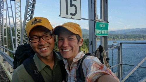
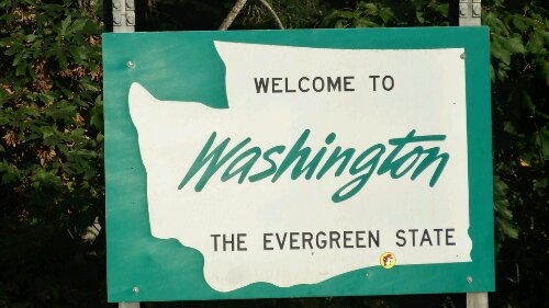
We spent two not so relaxing but still wonderful zeros in Vancouver, running around doing errands, fixing gear, and eating. Ashleigh’s dad offered to support a slack-pack for our first day out of Cascade Locks. We happily accepted, as Cascade Locks is the lowest point on the trail and there is a considerable climb coming out. So after three wonderful nights in a bed, we woke at 5:30am and left for the trail. We managed to do 30 miles that day, starting at the Bridge of the Gods and the Washington/Oregon border. Ashleigh’s dad was waiting for us at Trout Creek with his friend Tom, along with all our gear and beer and brats for dinner!
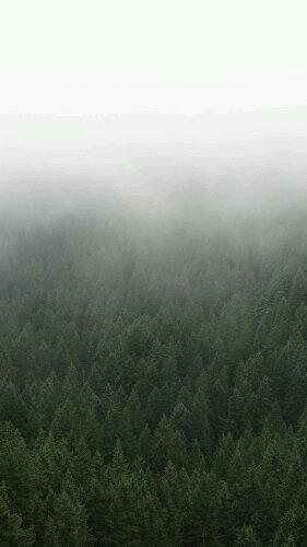
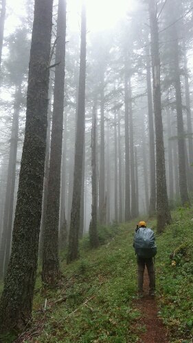
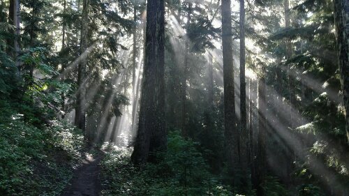
The next couple days were spent hiking up and down in the “green tunnel” (heavily forested area). Not many views, and where there were lookouts, all you could see was a grey fog. “It’s like hiking in a cloud,” as one hiker described it. These low hanging clouds made the air moist. We were waking up every morning with our tent and sleeping bag dripping with condensation. Finally, as we rolled into a campsite on Thursday evening, it began to rain – just a light drizzle at first. Thankfully, there was an extremely friendly couple trail angeling at the site. They immediately offered us hot food and had an amazing bonfire going. More than a dozen hikers crowded around to dry off. Then the heavy rain came in. We retreated to our tent and tried to sleep.
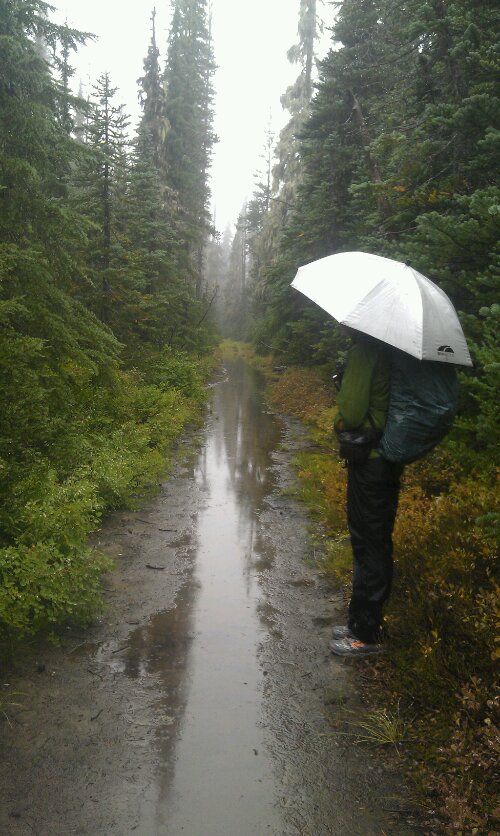
In the morning, we woke to the sound of rain still falling on our tent. We laid in our bag and pretended that if we slept a little more, the rain was bound to stop. It didn’t. We reluctantly packed up in the rain, everything soggy and water logged. Other hikers who stayed at the site were equally wet and were hitching rides with the trail angels, hitching some other way, or road walking to Trout Lake, a small nearby town, for relief from the rain. We decided to hike on down the trail through the rain. Forecasts said it should clear up by that afternoon anyway. But as we slogged northward, the rain kept falling. The trail was covered in puddles, some unavoidable, and in some places the trail just turned into an ankle-deep stream of water. We were planning on doing a high 30-mile day that day but only managed 21 before camping. Wet and miserable, we slept, hoping the next day would be dry.
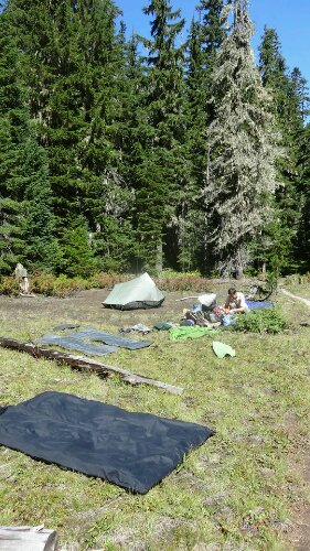
When I poked my head out of the tent the next morning, there wasn’t a cloud in the sky. Thankful, we hiked for a few hours before finding a sunny meadow, where we laid out all our year to dry. It felt great to finally have everything dry. Eagerly, we hiked on toward the Goat Rocks Wilderness, an area known to be as beautiful as the High Sierra.
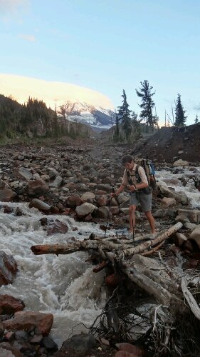
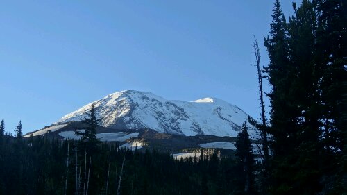
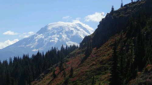
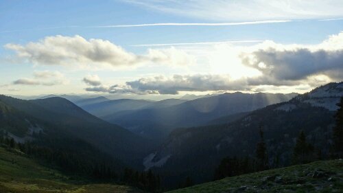
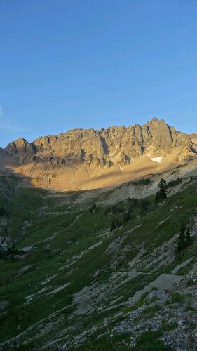
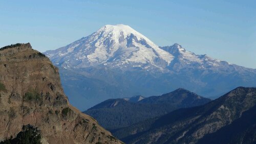
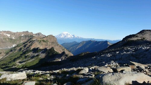
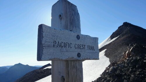
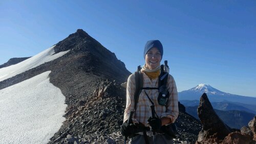
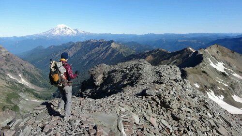
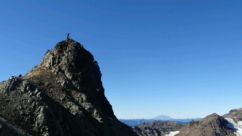
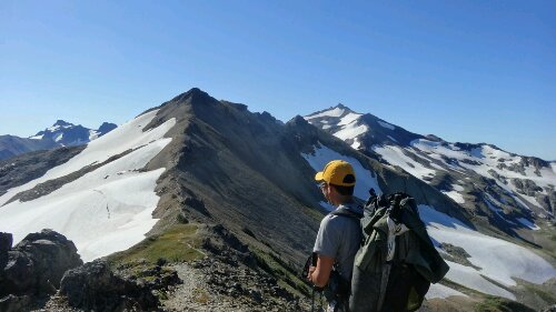
Goat Rocks lived up to its reputation. It was stunningly beautiful. After we passed over Cispus Pass, the terrain opened up to a huge valley with amazing waterfalls and a gorgeous sunset. We camped on the side of the valley and took in the views. The next morning we hiked up Old Snowy and caught stunning views of Mt. Adams and Mt. Rainier. It was bright and sunny as we hiked, and it felt wonderful.
We ended up going slower than expected, due to the difficult terrain and frequent photo ops, and had to hurry down to White Pass to pick up our resupply box before the local store closed. We tried to take a “shortcut” down a ski slope, as recommended by our guide book, but it ended up being a nightmare… we had to scramble down steep rocky slopes and bushwack through thigh-high huckleberry bushes before finally emerging at the highway. It took just as long as the standard route would have. Eventually we made it to the store, picked up our resupply box (along with a couple pizzas) and checked into the local inn.

Wow guys! WA looks amazing. Missing you two and the trail. I had a funny dream last night where I made up a hilarious version of Frosty’s name. I can’t remember what it was now but it had me cracking up in my sleep! I leave for Canada Thursday to wait for you all. Keep trekking! Xoxo ——>
-Roo